What is recorded here
'Located in land that rises gently from the north to the south, at the eastern end of the Sliabh Mis, this site affords good views of the Stacks Mountains to the north and the low-lying land towards Castleisland to the east. This site was identified on colour aerial photography in a field that had at the time been cut for silage. The site consists of two small circular crop marks, clearly shown as dark lines, indicating a buried ditch, on the photograph. The crop marks are small with the more easterly being slightly smaller. The approximate size of the crop marks is 10m and 12m in diameter respectively. No trace of these features is visible at ground level.'
Description from ‘The Prehistoric Settlement of the Lee Valley, Tralee, Co. Kerry; A Landscape Perspective’ by Michael Connolly. PhD Thesis UCC 2008
Date of upload: 22 June 2012
The monument record does not grant public access. Check the route and ask the landowner before entering private land.
- What survives
- Recorded monument
Places near here
 Fulacht fia in KilleensFulacht fia · 1136 yd
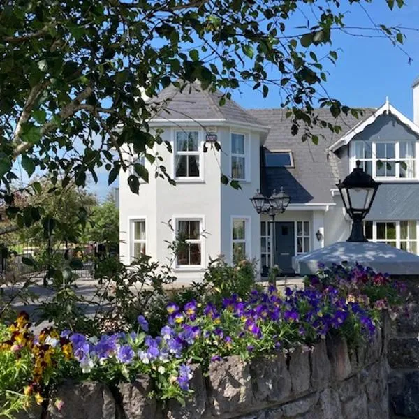 Enclosure in Gortatlea (trughanacmy By.)Enclosure · 1359 yd
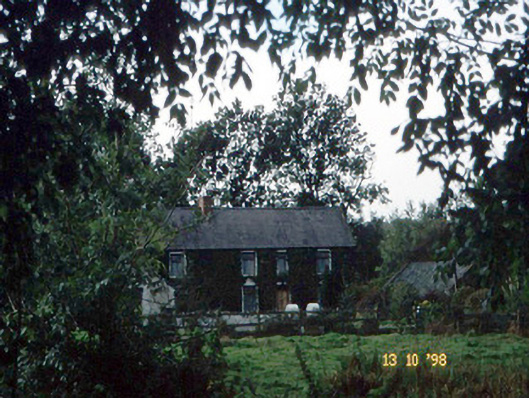 farm housefarm house · 1.1 mi
 Bealagrellagh CastleCastle · 1.3 mi
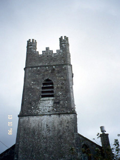 Ballymacelligott Churchchurch/chapel · 1.8 mi
 Site of McElligotts CastleCastle, unclassified · 1.8 mi
 Common AlderCommon Alder · 2.6 mi
 PoulatouirtCave · 3.1 mi
 Ballygamboon Forest Recreation AreaWood · 3.3 mi
 Poulclashcannon (blocked)Cave · 3.3 mi
 Scotia's GraveArchaeological place · 4.3 mi
 Civil War MemorialMemorial · 4.7 mi