What is recorded here
Situated on the crest of a slight NE-SW ridge in the floodplain fo the NE-SW River Bann with the steam c. 200m to the SE. The cropmark of a circular enclosure (diam. c. 15-20m) defined by a continuous fosse feature is visible on aerial phtographs (CUCAP: AVK 6, BDJ 70, ASW 74, BGF 17). No feature is visible at ground level in a cereal crop, but it is also visible on aerial photographs (MM (14) 8-11; (52) 23).
The above description is derived from the published 'Archaeological Inventory of County Wexford' (Dublin: Stationery Office, 1996). In certain instances the entries have been revised and updated in the light of recent research.
Compiled by: Michael Moore
Date of upload/revision: 21 May, 2012
Amended: 1 May, 2014
The monument record does not grant public access. Check the route and ask the landowner before entering private land.
- What survives
- Recorded monument
Places near here
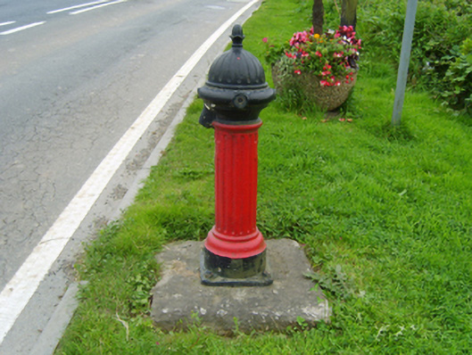 water pumpwater pump · 160 yd
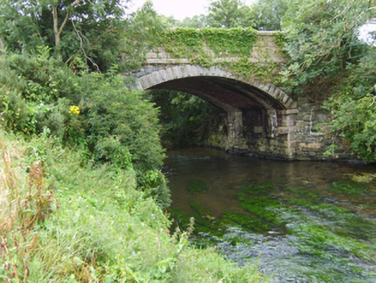 Milshoge Bridgebridge · 282 yd
 Enclosure in NorrismountEnclosure · 1022 yd
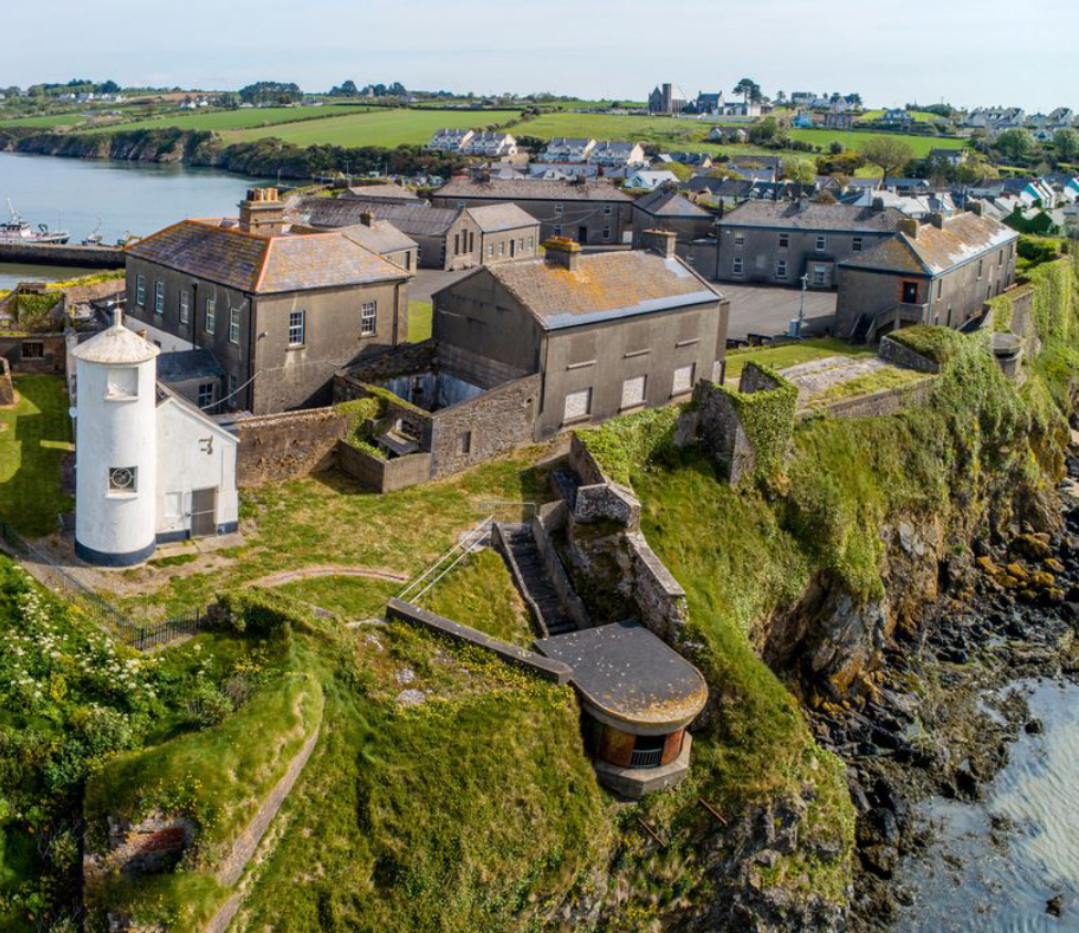 Enclosure in BolinaspickEnclosure · 1404 yd
 Milshoge RockMountain / peak · 1.0 mi
 Camolin WoodForest · 1.7 mi
 Kilbora WoodForest · 2.0 mi
 Giants BedNamed rock · 2.3 mi
 Carrigroe HillMountain / peak · 2.5 mi
 Ferns Castle (in ruins)Castle, Anglo-Norman masonry castle · 3.1 mi
 CastleCastle, unclassified · 4.0 mi
 Father Murphy CentreHeritage attraction · 4.5 mi