What is recorded here
Located at the edge of a ridge in a low-lying area with a canalised SSW-NNE stream c. 25m to the W and lower ground to the S. Archaeological centre-line testing (04E1052) by G. McLoughlin (2005) at Testing Area 1 of Contract 5 of the M3 motorway (excavations.ie 2004:1194) identified archaeological features that were partially investigated (E003164) within the road-take by S. Reilly in interrupted sessions between September 2006 and April 2009 as Calliaghstown 1 (Reilly et al. 2008) when a large enclosure was recorded at the W end while a ring-ditch and a rectangular enclosure were revealed at the E end of the excavation.
In Area A, E of a SSW-NNE field bank and stream, a circular area (int. diam. c. 16m) was at the N edge of the road-take and half of it survives outside it. The enclosure is defined by a flat-bottomed fosse (Wth 2.4m; D 0.9m), and there may have been an entrance at S. The ditch was re-cut as shallower and wider (max. Wth 2.86m; max. D 0.74m) in Phase 2, and recut again at the W edge in Phase 3. The interior of the enclosure is marked by NE-SW furrows, and no original internal features survive. It is later than the rectangular enclosure that is just to the S and cuts its fosse. (Reilly et al. 2008, 2-3)
See the attached plans from Reilly et al. (2008, figs 7, 8, 9)
Compiled by: Michael Moore
Date of upload: 4 March 2022
The monument record does not grant public access. Check the route and ask the landowner before entering private land.
- What survives
- Recorded monument
Places near here
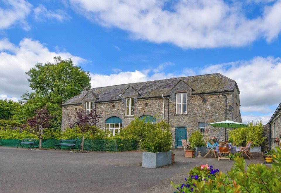 Enclosure in Calliaghstown (kells Upper By.)Enclosure · 32 yd
 Lackmelch RockfieldWood · 452 yd
 Enclosure in LackmelchEnclosure · 850 yd
 Long WoodForest · 879 yd
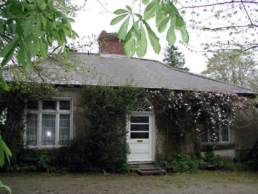 Westfield Cottagehouse · 1.0 mi
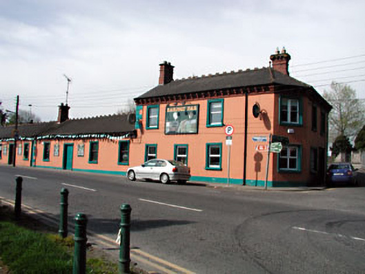 Railway Househotel · 1.0 mi
 The Pauper's CemeteryMemorial · 1.2 mi
 Great Famine ProjectMemorial · 1.2 mi
 CastleCastle, motte · 2.0 mi
 MountainpoleMountain / peak · 2.4 mi
 Castle ruinsCastle · 2.5 mi
 CloncatMountain / peak · 2.8 mi