What is recorded here
Situated on a slight E-facing slope. A magnetic gradiometer survey (16R0116) of an extensive area (dims c. 600m ENE-WSW; c. 300m NNW-SSE) identified 15 potential archaeological features (Roseveare and Roseveare 2016), 11 of which were archaeologically tested (16E0548). Of these all but two proved to be either natural or of recent origin. This is a circular area (int. diam. 16-17m) defined by a single fosse (Wth 0.9-1m; D 0.4m) which was encountered in excavation at three points. It was filled with a light greyish brown silty clay with small pebbles. An exclusion zone (diam. 30m) will preserve the monument in situ. (O’Carroll 2016, 10-11, 13)
Compiled by: Michael Moore
Date of upload: 26 February 2021
O’Carroll, Report on Archaeological Test Trenching, Bullstown Townland, Co. Meath. Licence: 16E0548. Unpublished report, CRDS
The monument record does not grant public access. Check the route and ask the landowner before entering private land.
- What survives
- Recorded monument
Places near here
 CastleCastle, motte · 573 yd
 Site of Old ChurchChurch · 788 yd
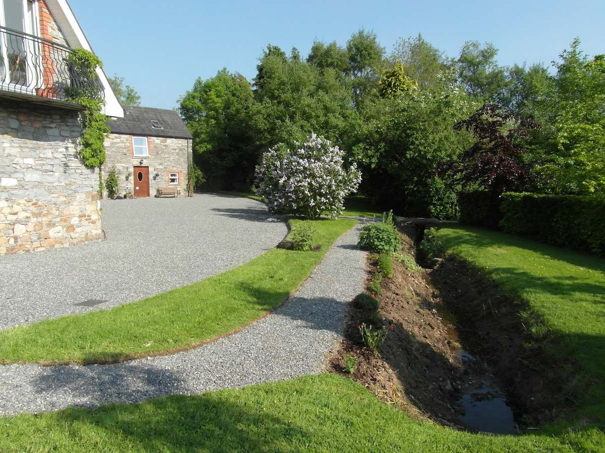 Enclosure in Fleenstown LittleEnclosure · 811 yd
 AshbourneMemorial · 1399 yd
 Church (in Ruins)Church · 1610 yd
 Wooly Ward's FarmHeritage attraction · 1.7 mi
 Ashbourne Parish Hallschool · 2.0 mi
 Bawn in KilleglandBawn · 2.0 mi
 Graveyard in KillosseryGraveyard · 2.8 mi
 Wesley's WoodsWood · 3.1 mi
 St. John's WellSpring · 4.3 mi
 TyrrelstownWood · 5.0 mi