What is recorded here
Situated on the floodplain on the N bank of a W-E section of the River Boyne, with the stream c. 70m to the S. The vegetation mark of a small enclosure (diam. c. 10m) defined by a fosse feature is visible on Google Earth (14/07/2018). It was first reported by Anthony Murphy.
Compiled by: Michael Moore
Date of upload: 9 July 2019
The monument record does not grant public access. Check the route and ask the landowner before entering private land.
- What survives
- Recorded monument
Places near here
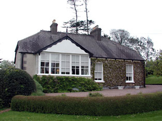 The Cottagehouse · 174 yd
 IndicatedChurch · 257 yd
 Fortification in Manorland (1st Division)Fortification · 485 yd
 Trim CastleCastle, Anglo-Norman masonry castle · 487 yd
 CastleCastle, hall-house · 520 yd
 Wellington MonumentMonument · 746 yd
 Saints IslandForest · 3.4 mi
 Small-leaved ElmSmall-leaved Elm · 3.6 mi
 Kilgar GardensHeritage attraction · 9.0 mi
 MullaghMountain / peak · 9.0 mi
 Old Bog Road made famous by Teresa Bryton 1868-1943Memorial · 9.1 mi
 Larchil Arcadian GardensHeritage attraction · 9.3 mi