What is recorded here
Located just at the crest of the N-facing slope down to the WSW-ENE Nanny River which is c. 85m to the N. The cropmarks of two circular features are visible on a digital image captured with a drone-mounted camera by Colin Byrne on 24/07/2021. This is a small circular area (diam. c. 5m) defined by a single fosse, and the ring-ditch (ME027-060----) is c. 30m to the E. The two features are also faintly visible on OSI images (1995) and on Google Earth (21/07/2021).
See the attached aerial view courtesy of Colin Byrne
Compiled by: Michael Moore
Date of upload: 13 October 2021
The monument record does not grant public access. Check the route and ask the landowner before entering private land.
- What survives
- Recorded monument
Places near here
 Beaumont Br.Bridge · 245 yd
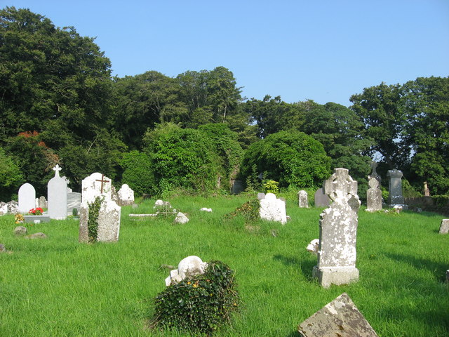 Church (in Ruins)Church · 442 yd
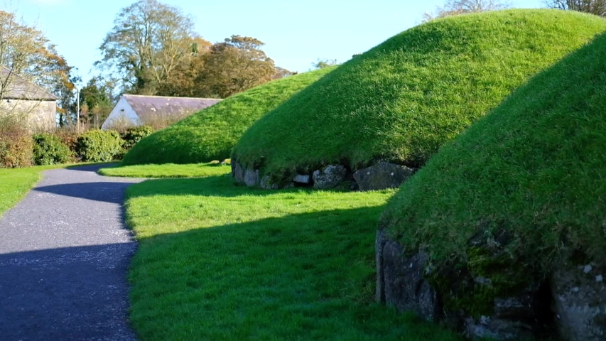 Enclosure in Newhaggard (duleek Upper)Enclosure · 447 yd
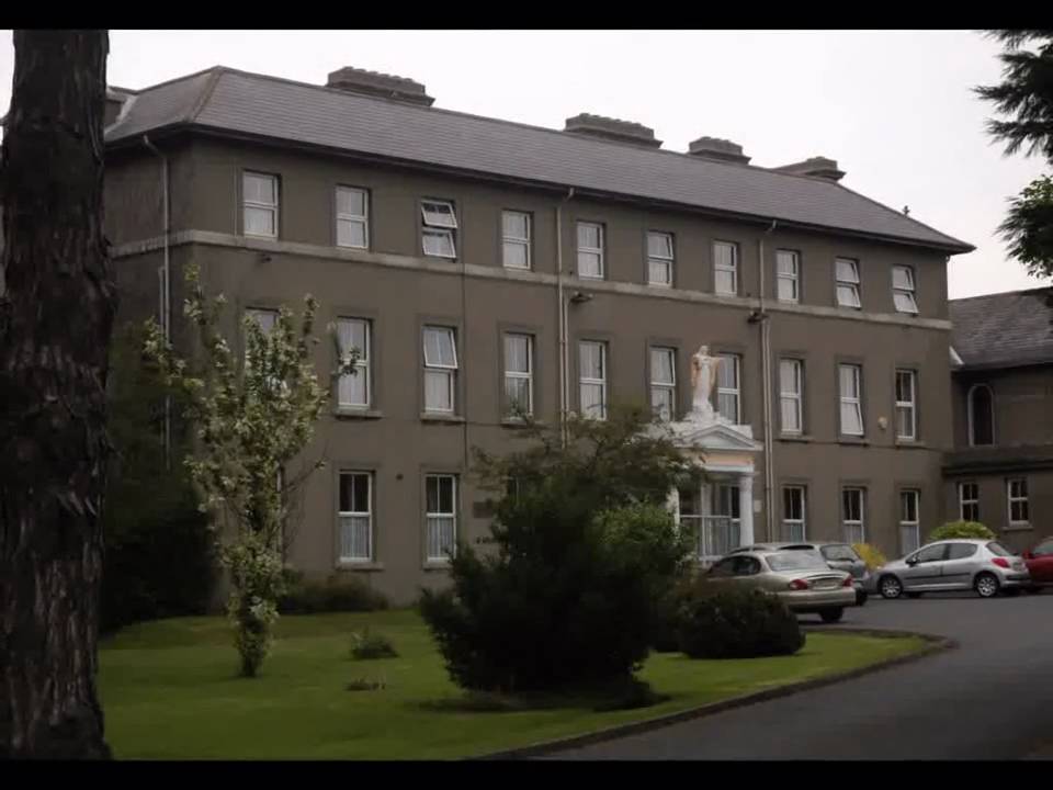 Enclosure in Beaumont (duleek Upper By.)Enclosure · 686 yd
 CastleCastle, unclassified · 1.2 mi
 Platin HouseCastle, unclassified · 2.2 mi
 Common LimeCommon Lime · 2.6 mi
 Newgrange Business ParkMemorial · 2.9 mi
 Battle of Julianstownbattle · 3.1 mi
 Glenmore ForestWood · 3.9 mi
 Yellow IslandIslet · 4.2 mi
 Brú na Bóinne Visitor Centre AccessHeritage attraction · 4.3 mi