What is recorded here
On a S-facing slope in pasture. Excavated in 2006-7 in advance of the N9/N10 Kilcullen to Waterford Road Improvement Scheme. Excavation licence no. 2517, AR054, Area F. One of a cluster of monuments found in close proximity to each other in an area c. 1.8ha with dates ranging from the Late Neolithic to the early medieval period. A ring-ditch (ext. diam 16.8m; int. diam 13.3m) with two narrow gaps to the NE and SE. Two main phases of activity were found in the ditch fill. A miniature ring-ditch (ext. diam. 3m; max. D 0.27m) was located in the N half enclosing a small oval cremation pit. A discrete inhumation lay 3m to the SE of the miniature ring-ditch. It was orientated E-W and the grave cut was partially lined with stones. It may have been associated with a cemetery of linear graves (KK031-085----) immediately outside the ring-ditches at NE that had an earliest date of Cal AD 427-561 (UB14016). A figure-of-eight kiln was located 2.5m W of the inhumation. This was possibly an intrusive feature and is similar in date (Cal AD 349-537 (UB10688)) to the adjacent cemetery. The ring-ditches returned dates of Cal BC 170-45 (UB10679), Cal BC 168-2 (UB10704) and Cal AD 28-127 (UB10681) while the central pit was radiocarbon dated to Cal BC 1374-1130 (UB10678). (Channing 2009, 255-6, no. 1003; 2010a, 234, no. 881; 2010b)
Compiled by: Mary Tunney
Date of upload: 25 September 2013
The monument record does not grant public access. Check the route and ask the landowner before entering private land.
- What survives
- Recorded monument
Places near here
 BaysrathArchaeological place · 125 yd
 farm housefarm house · 268 yd
 Church in ruinsChurch · 561 yd
 Sheepstown Castle (site of)Archaeological place · 1023 yd
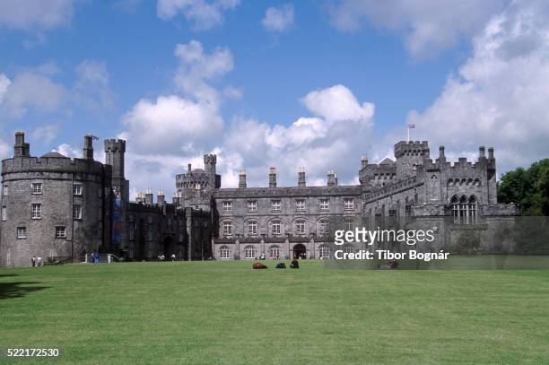 Danganbeg Castle (Site of)Castle, unclassified · 1170 yd
 Ballyboodan RingfortArchaeological place · 1339 yd
 Church (in Ruins), GraveyardChurch · 1.5 mi
 Turkey OakTurkey Oak · 1.5 mi
 Graveyard in DerrynahinchGraveyard · 2.3 mi
 Castlemorris Pheasant LoopWalking route · 2.5 mi
 Castlemorris WoodForest · 2.6 mi
 Kells Augustinian PrioryHeritage attraction · 3.5 mi