What is recorded here
Situated in the townland of Donaghcumper on the 1837 ed. OSi 6-inch map, however on the revised Cassini OSi 6-inch map the site is located today in the adjoining townland of Ballyoulster. Cropmark of ring-ditch (diam. c. 8m) within subrectangular shaped field or enclosure visible on Google Earth orthophoto taken 24/06/2018.
See attached image of Google Earth photograph taken 24/06/2018
Compiled by: Caimin O'Brien based on details provided by Donal Lucey
Date of upload: 3 November 2020
The monument record does not grant public access. Check the route and ask the landowner before entering private land.
- What survives
- Recorded monument
Places near here
 Enclosure in BallyoulsterEnclosure · 429 yd
 Church (in Ruins)Church · 622 yd
 St. Wolstans AbbeyReligious house, Augustinian canons · 804 yd
 Saint Wolstan'sHeritage attraction · 895 yd
 Enclosure in LoughlinstownEnclosure · 1050 yd
 Batty Langley WoodsForest · 1211 yd
 Common LimeCommon Lime · 1295 yd
 Arthur GuinessMemorial · 1325 yd
 CastleCastle, unclassified · 1462 yd
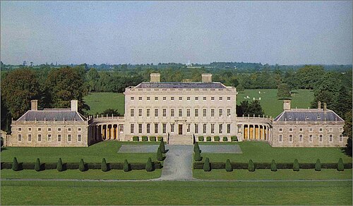 Castletown HouseHeritage attraction · 1521 yd
 John McLaughlinMemorial · 1569 yd
 Grand Canal WayWalking route · 1.6 mi