What is recorded here
Cropmark of possible ring-ditch (approx. diam. 12m) visible on Google earth aerial imagery taken 02/06/2016.
See attached image of Google Earth photograph taken 02/06/2016
Compiled by: Caimin O'Brien based on details provided by Colin Flynn
Date of upload: 6 March 2020
The monument record does not grant public access. Check the route and ask the landowner before entering private land.
- What survives
- Recorded monument
Places near here
 Enclosure in BallyoulsterEnclosure · 270 yd
 Saint Wolstan'sHeritage attraction · 482 yd
 St. Wolstans AbbeyReligious house, Augustinian canons · 569 yd
 Newbridge Corn Mill (disused)Ruins · 706 yd
 Batty Langley WoodsForest · 756 yd
 Enclosure in LoughlinstownEnclosure · 1554 yd
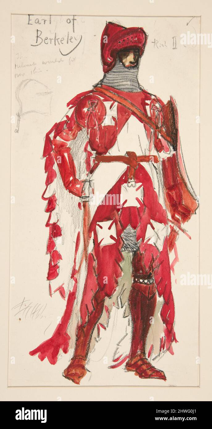 Berkeley Costume and Toy CollectionMuseum · 1590 yd
 CastleCastle, unclassified · 1604 yd
 Common LimeCommon Lime · 1.0 mi
 Arthur GuinessMemorial · 1.1 mi
 John McLaughlinMemorial · 1.2 mi
 Grand Canal WayWalking route · 1.7 mi