What is recorded here
Cropmark of ring-ditch (approx. diam. 9m) visible on Google earth aerial imagery.
See attached image taken from Google Earth aerial photographs taken 14/07/2018
Compiled by: Caimin O'Brien based on details provided by Jean-Charles Caillère
Date of upload: 19 September 2019
The monument record does not grant public access. Check the route and ask the landowner before entering private land.
- What survives
- Recorded monument
Places near here
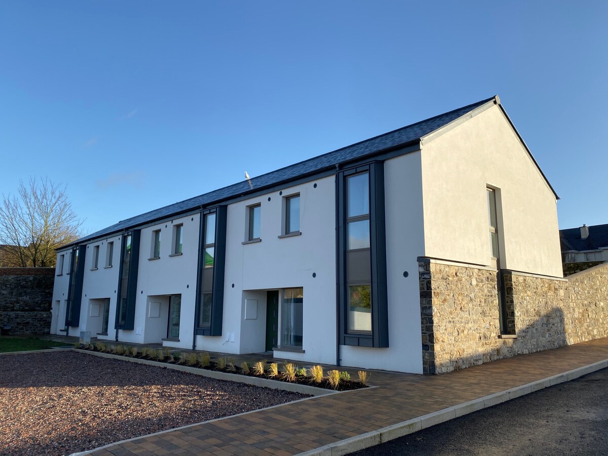 Enclosure in TankardstownEnclosure · 342 yd
 Ecclesiastical enclosure in KillabbanEcclesiastical enclosure · 399 yd
 Killabban Church (in ruins)Church · 414 yd
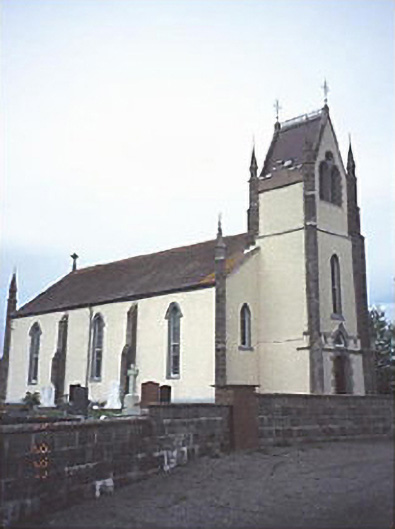 Saint Abban's Catholic Churchchurch/chapel · 1695 yd
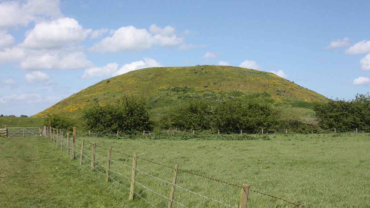 The MoundCastle, motte and bailey · 2.0 mi
 Castle in ruinsCastle, unclassified · 2.2 mi
 Pedunculate OakPedunculate Oak · 3.2 mi
 Lorcán Ó TuathailMemorial · 4.1 mi
 Mullaghreelan WoodForest · 4.3 mi
 Zoltan Zinn-Collis memorialMemorial · 4.9 mi
 Town HallMuseum · 4.9 mi
 Killeshin ChurchVisitor information · 5.2 mi