What is recorded here
In tillage, on a gentle S-facing slope. Identified as a circular cropmark on aerial photography (ASIAP (27) 15-17, 3.8.1996). It is not visible at ground level.
Compiled by: Jean Farrelly
Date of upload: 26 August 2011
The monument record does not grant public access. Check the route and ask the landowner before entering private land.
- What survives
- Recorded monument
Places near here
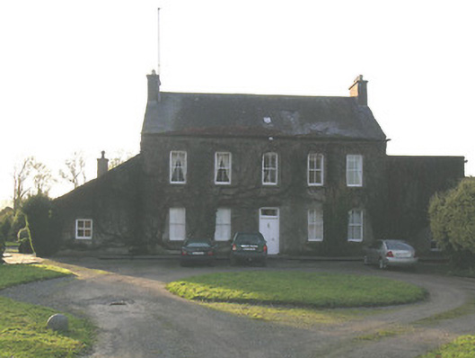 Ballycurkeen Househouse · 1112 yd
 Castle (in ruins)Castle, tower house · 1156 yd
 Ballynoran Church (in ruins)Church · 1296 yd
 Ballydine Ho.Castle, unclassified · 1441 yd
 Maurice DavinMemorial · 1504 yd
 Grave YardGraveyard · 1535 yd
 Site of ChurchChurch · 1542 yd
 Churchtown WoodForest · 1.3 mi
 Thomas KielyMemorial · 1.4 mi
 Coolnamuck Wood WestForest · 1.7 mi
 CarrigcoumMountain / peak · 2.7 mi
 Carrigaloe RockNamed rock · 3.1 mi