What is recorded here
Murphy's Fort stands as a prehistoric ring barrow in Mullaghmore, County Down, scheduled for protection long before modern borders drew their lines. The earth may have swallowed the hands that shaped it, yet the circle remains intact, defying the usual hunger of time and forgetfulness.
The official Northern Ireland record identifies this as RING BARROW: MURPHY'S FORT. Recorded period: PREHISTORIC. Recorded protection: Scheduled. The official map point was placed at the centre of the recorded archaeological site from the source map reference.
Ring barrow, dating to the Early Bronze Age. It is a scheduled monument, indicating its recognised archaeological importance, though specific details on its wider significance are limited.
The monument record does not grant public access. Check the route and ask the landowner before entering private land.
- What survives
- Recorded monument
Places near here
 ROUND CAIRN: CARNADRANNA in Carmeen; EdentrumlyROUND CAIRN: CARNADRANNA · 1.0 mi
 ENCLOSURE; possibly HORIZONTAL MILL in CarcullionENCLOSURE; possibly HORIZONTAL MILL · 1.1 mi
 Downshire ArmsHotel · 1.6 mi
 Hilltown LodgeHouse · 1.8 mi
 Leitrim Lodge Picnic AreaPicnic place · 2.2 mi
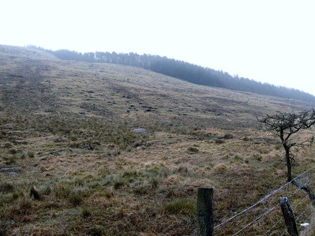 Crotlieve MountainMountain / peak · 2.3 mi
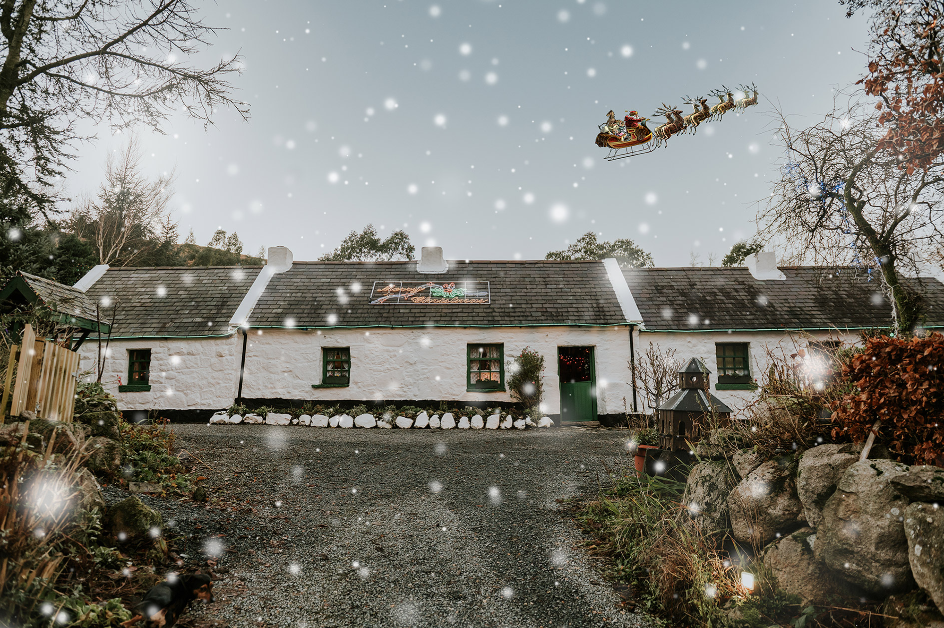 Santas CottageHeritage attraction · 2.3 mi
 Sandbank Road Picnic AreaPicnic place · 2.5 mi
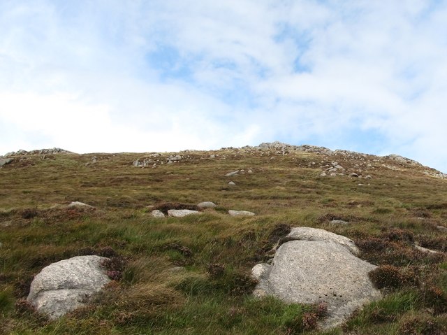 Rocky MountainMountain / peak · 2.7 mi
 UNCERTAIN: CASTLE COMMOGUE in GowardUNCERTAIN: CASTLE COMMOGUE · 3.1 mi
 West TorCliff · 3.1 mi
 Summit TorCliff · 3.2 mi