What is recorded here
Richmond House stood as a castle on early maps before disappearing beneath a plain two-storey house in County Dublin. The building may have been a defensive seat, a wealthy residence or a boundary marker for a local family. It may have had a courtyard, a gatehouse or a hall large enough for feasts. The castle is gone, but the house still occupies the same land and carries the same name.
Duncans map (1821) has 'castle' marked here. Taylors map of the Environs of Dublin (1816 ) has 'castle of Richmond' marked on the site. Today there is a two-storey, 5 bay house on the site. There are no surface remains of the castle.
Compiled by: Geraldine Stout
Upload date: 30 September 2011
Richmond House is thought to have been built in the early 19th century, likely as a country residence, and takes its name from the nearby Richmond Barracks in Dublin. Its historical significance lies in its early recorded presence as a 'castle' in local maps, reflecting changing land use and terminology in the region during the 19th century.
The monument record does not grant public access. Check the route and ask the landowner before entering private land.
- What survives
- Recorded monument
Places near here
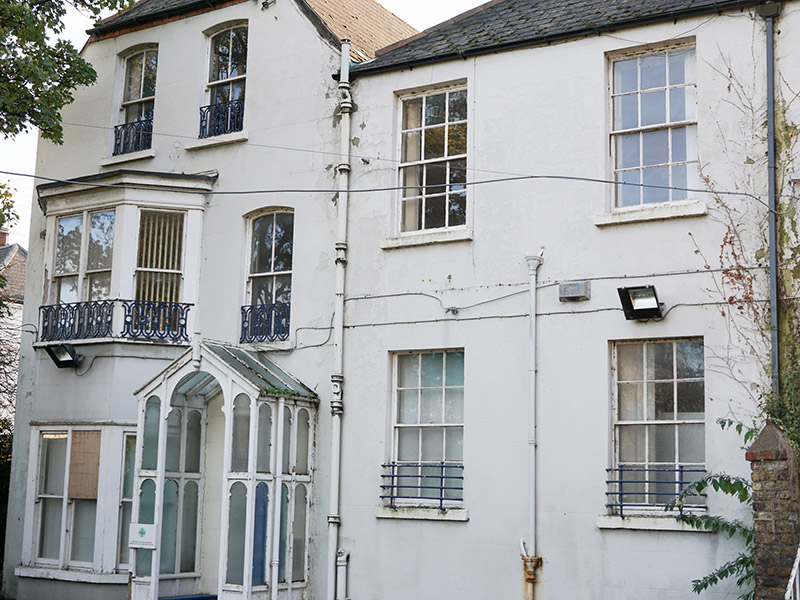 Woodbine Lodgehouse · 89 yd
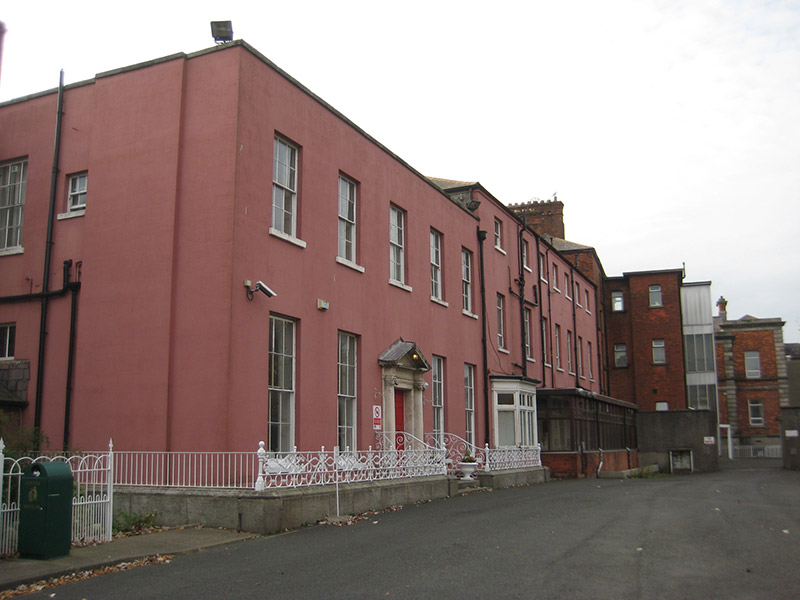 St. Vincent's Hospitalhouse · 169 yd
 St Josephs Asylum for the BlindCastle, unclassified · 523 yd
 Ballybough Burial PlotMonument · 533 yd
 Seán Russell Memorial StatueMemorial · 734 yd
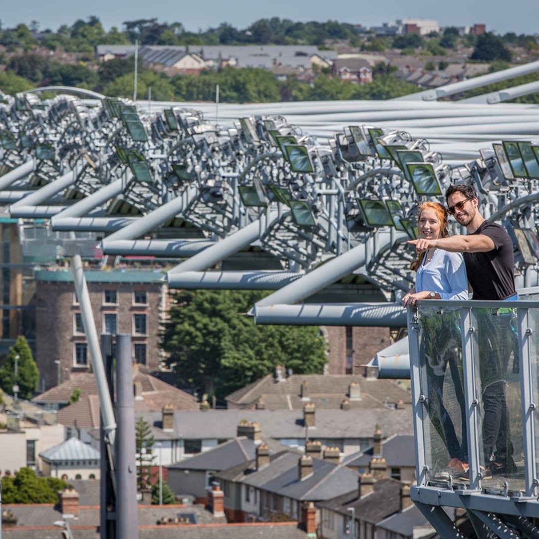 Kellogg's Skyline TourHeritage attraction · 735 yd
 Bread, Beer & Bia AirBnB ExperienceVisitor information · 745 yd
 Gaelic Athletic Association MuseumMuseum · 760 yd
 Grave yd.Graveyard · 776 yd
 Saint John's WellSpring · 835 yd
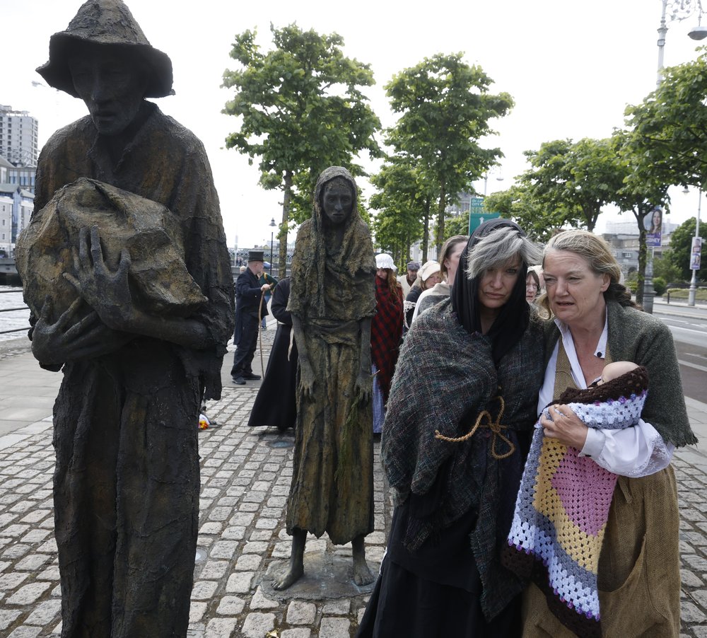 National Famine WalkMemorial · 856 yd
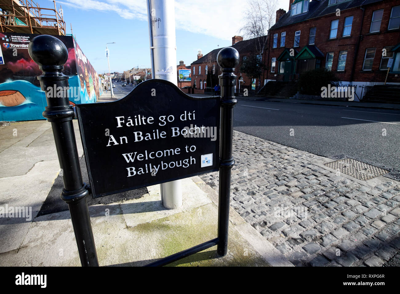 Welcome to BallyboughVisitor information · 867 yd