
What is recorded here
The Dominican priory of St Saviour was established by 1230 within the Anglo-Norman defences of the Viking city (WA009-005004-). Little is known of its history until its dissolution in 1541, when it consisted of a nave and chancel, a belfry and chapel, and associated buildings including a dormitory, chapterhouse, library, kitchen, storehouse, three halls and various other chambers, as well as a cemetery and gardens (Archdall 1786, 703). It was leased to James White after 1541 and was granted to Sir Anthony St Leger in 1599. In the 17th and 18th centuries the priory functioned as a courthouse.
The remains consist of a nave (int. dims. 16.8m E-W; 5m N-S) and chancel (min. dim. 13m E-W) with a crossing-tower and S aisle. The N nave wall has five lancet windows and the S wall has three pointed arches, now blocked, leading to the S aisle. The pointed W window is built into a larger embrasure over an inserted 18th-century doorway. The chancel is featureless and its E and S walls do not survive. The crossing-tower, now inaccessible, has four storeys and survives almost complete, except the parapet. Originally access to the tower was by mural stairs which rose through the N and E walls to the first floor which has access to the lofts over the nave and chancel, the second and third floors were reached by wooden ladders. The third floor, or belfry stage, has a twin-light, ogee-headed opening in each wall. There are mason's marks of simple parallel incisions on the chamfers of the tower piers at W, and fragments of an effigy (WA009-005116-) have been recorded from the site (Lumley 1977), but cannot now be traced. (Bradley et al. 1989, vol. 2, 259-65)
Archdall, M. (1786) Monasticon Hibernicum, Dublin.
Bradley, J., Halpin, A. and King, H. (1989) Urban archaeology Survey of Waterford City and County, 2 vols. Unpublished report commissioned by the Office of Public Works.
Lumley, I. W. J. (1977) A brief history and description of St Saviour's friary, commonly called Blackfriars, Waterford. Decies 6, 19-23,
The above description is derived from the published 'Archaeological Inventory of County Waterford' (Dublin: Stationery Office, 1999). In certain instances the entries have been revised and updated in the light of recent research.
Date of upload/revision: 23 December 2008
The monument record does not grant public access. Check the route and ask the landowner before entering private land.
- What survives
- Recorded monument
Places near here
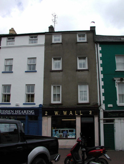 W. Wallhouse · 32 yd
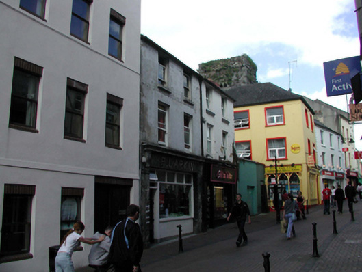 P. Larkinhouse · 37 yd
 Habitation site in Waterford CityHabitation site · 125 yd
 Beach TowerCastle · 215 yd
 Holy well in Waterford CityHoly well · 218 yd
 The Viking TriangleHeritage attraction · 222 yd
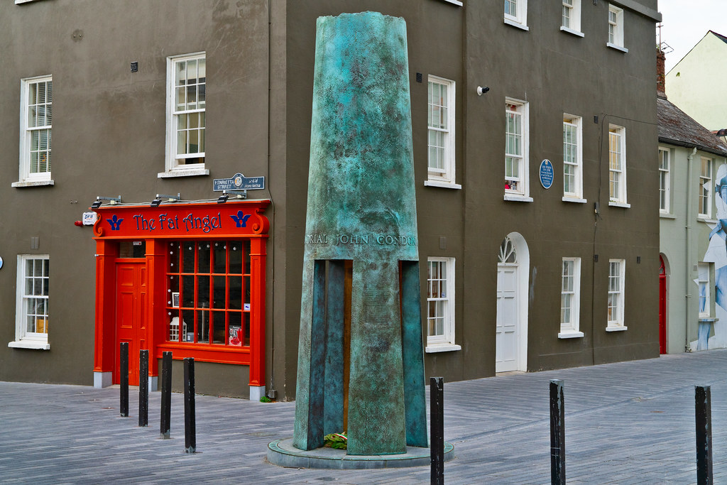 John Condon MemorialMemorial · 244 yd
 Irish Wake MuseumMuseum · 264 yd
 9/11 MemorialMemorial · 285 yd
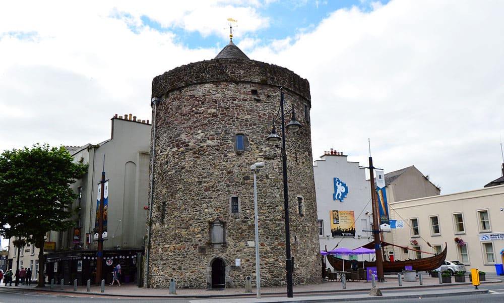 Semi-Lunar TowerCastle · 322 yd
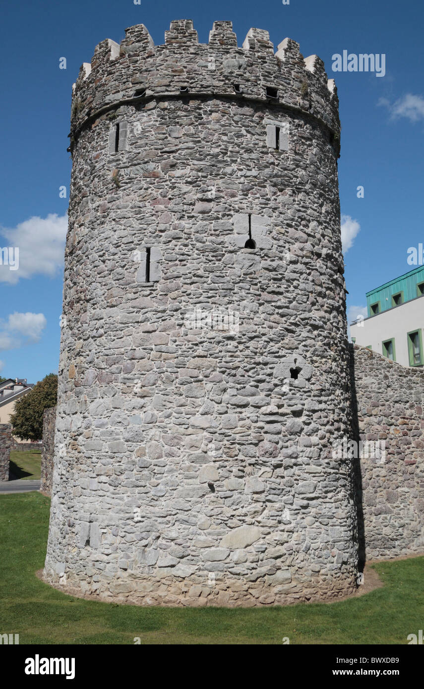 Waterford City WallsVisitor information · 349 yd
 Viking TriangleVisitor information · 407 yd
Other information
Photo: Credit not shown in the picture search · Rights wording not checked; contact us if this picture should be removed