What is recorded here
The precise location of the medieval Friary church of Tobercormick has not been identified. It was suggested that a priory of Augustinian Canons Regular was first established at Tobercormick before 1488 when a licence was granted to build a Dominican friary under the petition of Edmund de Lantu (Gwynn and Hadcock 1970, 200, 234). The location marked on the Westmeath RMP map was based on the 17th century Down Survey map which was superimposed onto the OS 6-inch map. This area was visited in 1983 and no surface remains of any church site was discovered in this area. The medieval friary church is depicted on the 1657 Down Survey map of Rathconrath barony where it is shown standing close to the S boundary with the parish of Killare (NLI, MS 723-4). The church is shown standing to the N of a medieval road on the 1657 Down Survey map of Ballymorin parish, the present road running through Tobercormick appears to follow the line of the medieval route. The church was probably located in the vicinity of the cross-roads and Hallstown House in Tobercormick. The church appears to have been built in the early 17th century as the terrier of the 1657 parish map recorded that 'The improvements herein is on Tobercormick a church’ (ibid.). On this map the church is depicted as a tall two storey high structure with crossing tower in the middle of the building more like a friary church than a parish church. On the Down Survey map of Rathconrath barony the church is depicted as a fortified type church with possible residential tower at W end.
Compiled by: Alison McQueen, Vera Rahilly and Caimin O’Brien
Date of upload: 09 January 2019
The monument record does not grant public access. Check the route and ask the landowner before entering private land.
- What survives
- Recorded monument
Places near here
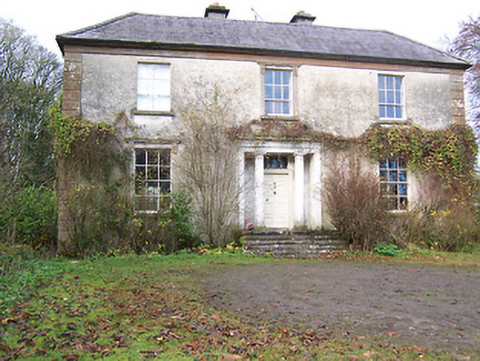 Halston Househouse · 145 yd
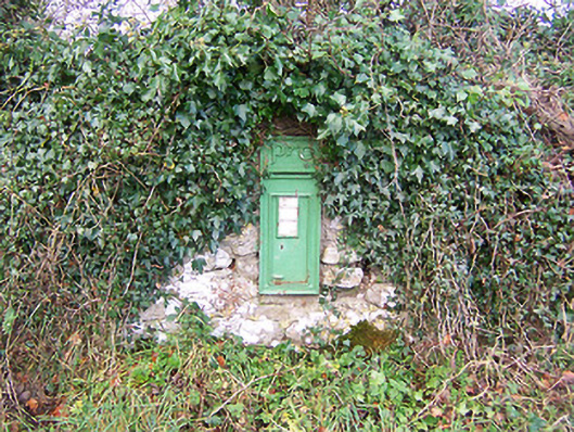 post boxpost box · 181 yd
 OutlinedHoly well · 674 yd
 Cross in BallymorinCross · 936 yd
 Hachured, 420 ODCastle, motte · 1.0 mi
 CastleCastle, tower house · 1.1 mi
 European ashEuropean ash · 1.8 mi
 Hill of UisneachMountain / peak · 2.0 mi
 Ancient Ring FortWood · 3.0 mi
 KnockastiaMountain / peak · 5.0 mi
 Abbeyshrule AbbeyRuins · 5.4 mi
 Guest ServicesVisitor information · 5.6 mi