What is recorded here
Listed as an enclosure in the SMR (1987). Aerial photograph (GB89.Z.15) taken in 1989 shows the cropmark of a semi-circular enclosure defined by a fosse; this enclosure coincides with a semi-circular wooded enclosure on the 1st (1839) ed. and 1900 revision OS 6-inch map and probably represents 18th/19th-century demesne landscaping. Also visible on a low-level aerial photograph (CUCAP BGN093, 19 July 1971). It is not visible at ground level.
See attached photograph:
KK012-025007-_01 CUCAP BGN093, 19 July 1971
Compiled by: Mary Tunney
Date of upload: 7 February 2012
The monument record does not grant public access. Check the route and ask the landowner before entering private land.
- What survives
- Recorded monument
Places near here
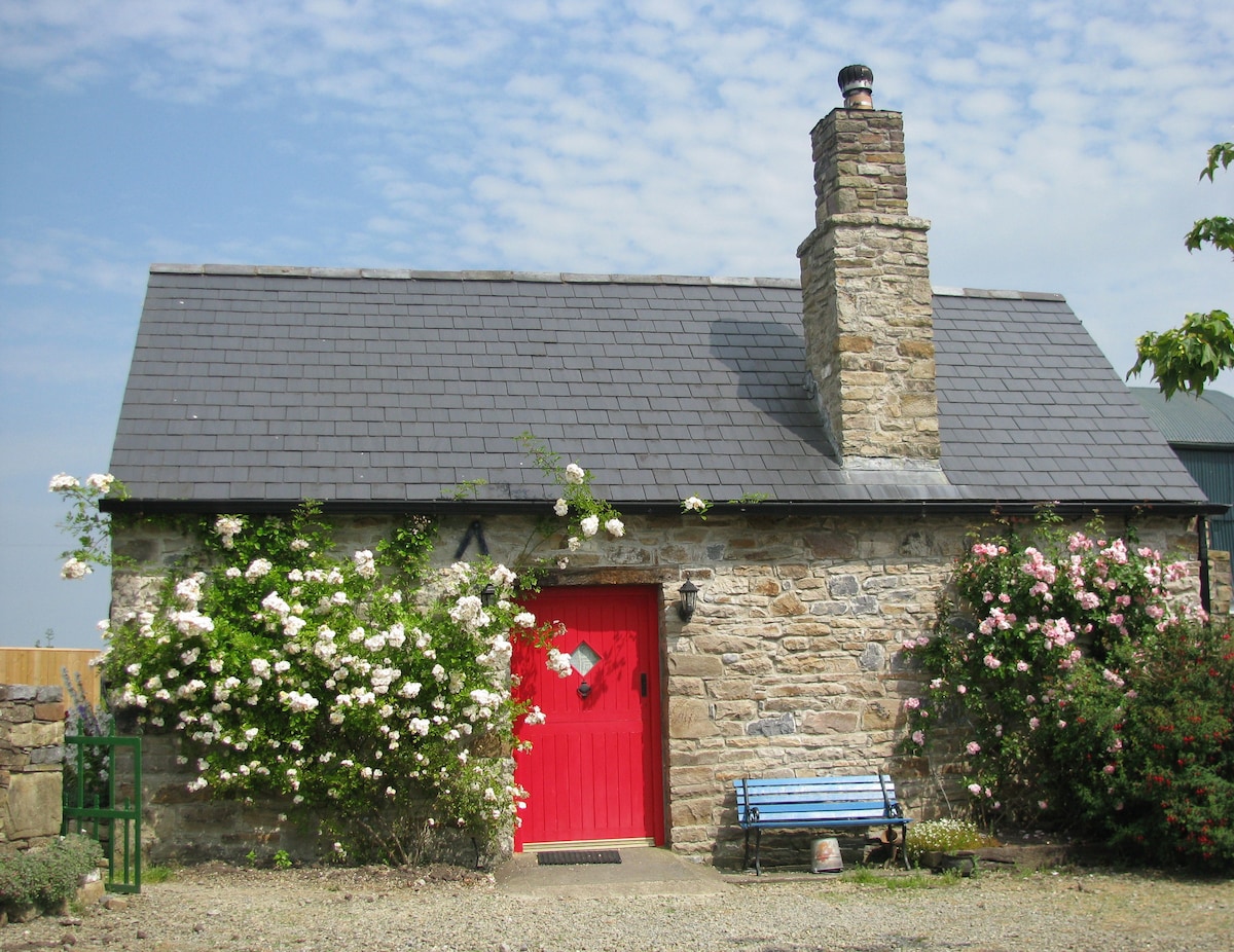 Enclosure in WoodsgiftEnclosure · 356 yd
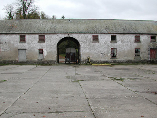 Woodsgift Housefarmyard complex · 645 yd
 Church in WoodsgiftChurch · 809 yd
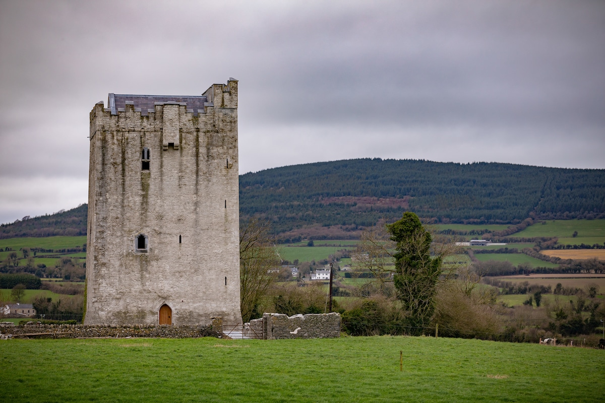 Enclosure in Tubbrid LowerEnclosure · 935 yd
 CastleCastle, tower house · 1.1 mi
 Tubbrid Castle (in ruins)Castle, tower house · 1.3 mi
 Kildrinagh WoodForest · 1.4 mi
 Clomantagh HillMountain / peak · 2.1 mi
 John HelyMemorial · 3.2 mi
 DelaneyMemorial · 3.4 mi
 Deerpark WoodWood · 3.6 mi
 Bregaun HillMountain / peak · 5.5 mi