What is recorded here
No visible gate, no central hollow, no interior life at all. The fort is empty in the way a clenched hand is empty: shaped around absence rather than arrangement. Its two banks and narrow ditch suggest exclusion, not invitation. What it excluded is no longer written anywhere near it.
On an E-facing slope in grassland. Well-preserved subcircular rath (N-S 27m, E-W 25.5m) defined by two tree-lined banks and an intervening fosse. A number of field boundaries radiate from the monument. A gap (Wth 2m) at SE may be original. (Knight c. 1975, 111)
The above description is derived from the published 'Archaeological Inventory of County Galway Vol. II - North Galway'. Compiled by Olive Alcock, Kathy de hÓra and Paul Gosling (Dublin: Stationery Office, 1999).
Date of upload: 05 August 2010
The monument record does not grant public access. Check the route and ask the landowner before entering private land.
- What survives
- Recorded monument
Places near here
 Crucamaohalle FortFairy fort / earthen ringfort · 970 yd
 Bellwell FortFairy fort / ringfort · 1134 yd
 Quarry in CastleQuarry · 1661 yd
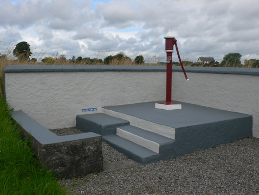 water pumpwater pump · 1.2 mi
 Castle in ruinsCastle, unclassified · 1.4 mi
 Slieve DartMountain / peak · 2.7 mi
 Dunmore CastleCastle · 3.1 mi
 Site of Killomaine Grave YardArchaeological place · 9.7 mi
 European ashEuropean ash · 11 mi
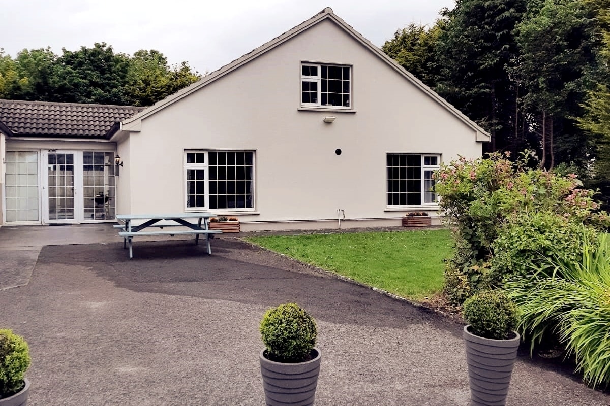 Enclosure in LissyconorEnclosure · 1244 yd
 Man-made underground passage in BallintavaMan-made underground passage · 1400 yd
 Enclosure in BallintavaEnclosure · 1.1 mi