
What is recorded here
Indicated is an enclosure in Willsbrook, County Roscommon, Ireland. It appears as a subcircular feature on the 1837 Ordnance Survey map and a rectangular ditched area on aerial photographs, sitting on the south bank of the River Suck opposite the inland promontory fort. The site is no longer visible at ground level in the pasture.
Marked as a subcircular or D-shaped feature (dims c. 40m E-W; c. 30m N-S) abutting the S bank of an E-W section of the River Suck on the 1837 ed. of the OS 6-inch map, and visible as a rectangular area (dims c. 60m E-W; c. 40m N-S) defined by a wide ditch backing onto the W-E River Suck at N on aerial photographs (GSIAP: M 63-4). Situated on the S bank of the River Suck at a point where the river runs W-E (L c. 80m), it is not visible at ground level in pasture. The inland promontory fort (RO026-054----) is immediately across the river (Wth c. 20m) to the N.
Compiled by: Michael Moore
Date of upload: 24 August 2010
The monument record does not grant public access. Check the route and ask the landowner before entering private land.
- What survives
- Recorded monument
Places near here
 Promontory fortPromontory fort, inland · 81 yd
 Church in Emlagh (castlereagh By., Castlereagh Ed)Church · 1.0 mi
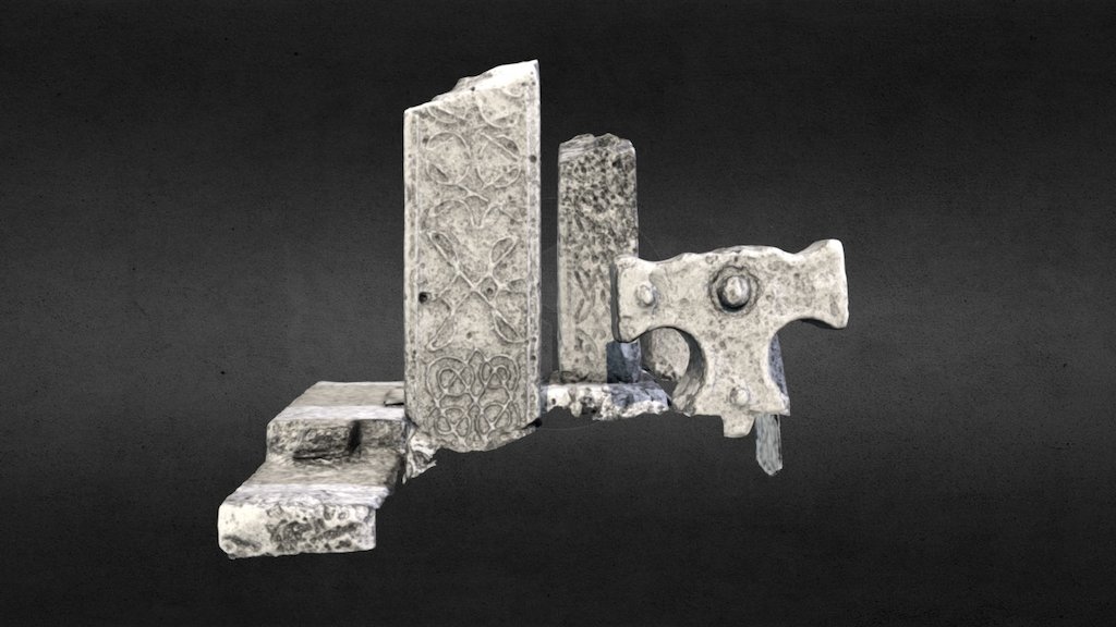 Emlagh CrossCross · 1.0 mi
 Church in Clooncoose SouthChurch · 1.3 mi
 Workhouse MemorialMemorial · 2.1 mi
 Silver IslandIslet · 2.2 mi
 CastleCastle, Anglo-Norman masonry castle · 2.4 mi
 Castlereagh HouseCastle, unclassified · 2.6 mi
 Clonalis HouseMuseum · 3.7 mi
 Coolougher WoodForest · 3.8 mi
 Site of Killomaine Grave YardArchaeological place · 5.5 mi
 Rook HillMountain / peak · 5.7 mi
Other information
Photo: Credit not shown in the picture search · Rights wording not checked; contact us if this picture should be removed