
What is recorded here
Visible on aerial photographs (GSIAP: M 63-4), and situated on level ground on the E bank of the N-S River Suck where the river turns E. D-shaped grass-covered area (int. dims 27.3m N-S; 22m E-W) defined by a fosse (Wth of base 3.5-4m; int. D 0.2-0.3m; ext. D 0.2-0.6m) separated by an earthen bank (Wth 5.9-6.4m; ext. H 0.5-0.7m) from a second fosse (Wth of base 3.8-4m; ext. D 0.5m) NW-S. There is a second outer bank (Wth 4.9-5.9m; ext. H 0.4-0.5m) and a third outer fosse (Wth of base 3.9-4.3m; ext D. 0.4-0.6m) NW-E-S, while the other sides are formed by the river at W and S. There is no identifiable original entrance (max. ext. dims 48m E-W; 79m N-S). It was planted with forestry since 2005. Enclosure (RO026-033----) is immediately across the river (Wth c. 20m) to the S.
Compiled by: Michael Moore
Date of upload: 24 August 2010
The monument record does not grant public access. Check the route and ask the landowner before entering private land.
- What survives
- Recorded monument
Places near here
 IndicatedEnclosure · 81 yd
 Church in Emlagh (castlereagh By., Castlereagh Ed)Church · 1744 yd
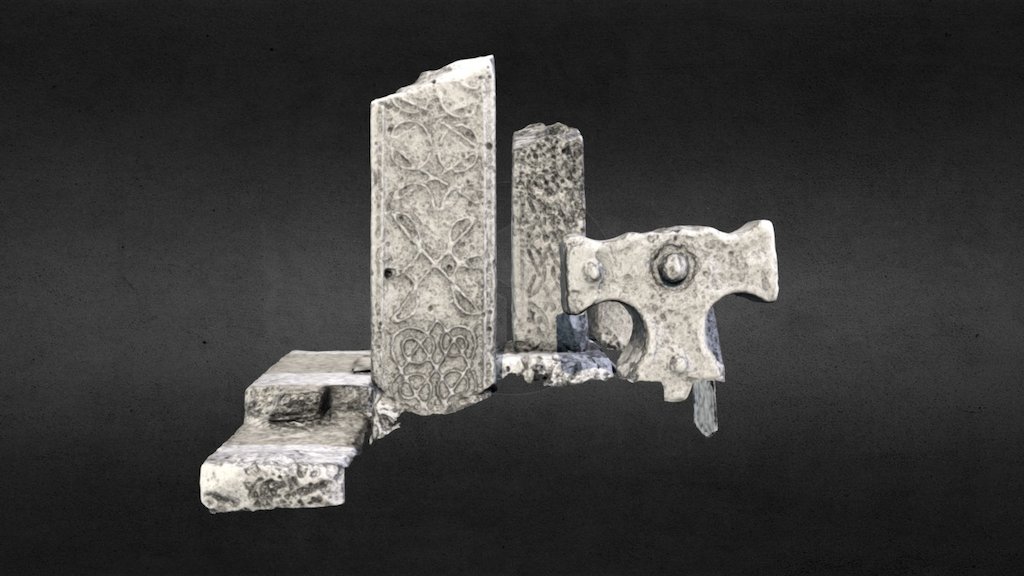 Emlagh CrossCross · 1.0 mi
 Church in Clooncoose SouthChurch · 1.2 mi
 Workhouse MemorialMemorial · 2.0 mi
 Silver IslandIslet · 2.1 mi
 CastleCastle, Anglo-Norman masonry castle · 2.4 mi
 Castlereagh HouseCastle, unclassified · 2.6 mi
 Clonalis HouseMuseum · 3.7 mi
 Coolougher WoodForest · 3.7 mi
 Site of Killomaine Grave YardArchaeological place · 5.6 mi
 Rook HillMountain / peak · 5.7 mi
Other information
Photo: Credit not shown in the picture search · Rights wording not checked; contact us if this picture should be removed