What is recorded here
In rolling grassland encompassing a slight natural hillock. There are good views in all directions. A roughly circular area (diam. c. 30m) defined by an earth and stone bank (int. H c. 0.9m; ext. H c. 1.5m; Wth c. 2m), with a high stone content. There is no visible trace of an outer fosse but this may have been infilled during reclaimation work in the surrounding field. The interior is on two different levels. The N side has a limited flat area (Wth 2-3m) inside the bank before the ground level rises steeply, by c. 3m, to the flat southern half.
Compiled by: Jean Farrelly
Date of upload: 9 September 2015
This remains an important historical record, but the official description says the monument is no longer visible or has been destroyed. The monument record does not grant public access. Check the route and ask the landowner before entering private land.
- What survives
- No visible remains or recorded as destroyed
Places near here
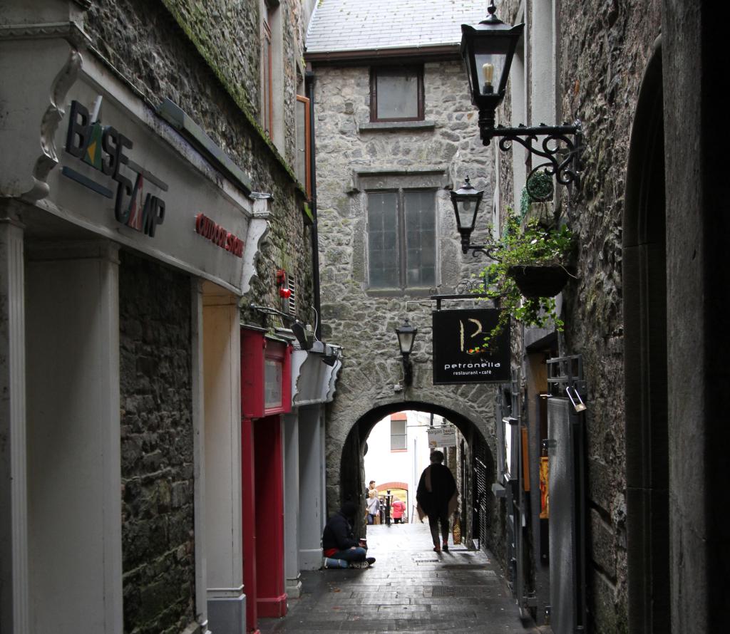 Bawn in WhiteswallBawn · 516 yd
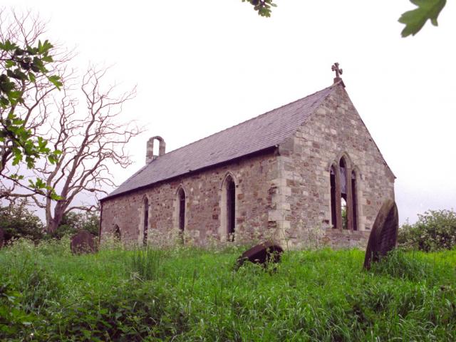 Church in WhiteswallChurch · 791 yd
 Enclosure in Castletown (galmoy By.)Enclosure · 1568 yd
 Church in Kyle (clandonagh By., Kyle South Ed)Church · 1610 yd
 RathbaneConcentric enclosure · 1.1 mi
 Cnoc SeanrathaMemorial · 1.3 mi
 Cody's CastleCastle · 1.4 mi
 Street fieldArchaeological place · 3.3 mi
 Big WoodWood · 4.3 mi
 DelaneyMemorial · 4.7 mi
 Anker's IslandIsland · 9.2 mi
 St. Mary's Famine and War MuseumMuseum · 13 mi