What is recorded here
A parcel of land in the townlands of Tomgarrow, Mountfin Lower or Ballyturner, Ballyduffe and the unknown Culcleirre that is probably Mountfin Upper was owned by Brian McDaniel, Lisagh McMorrough, Garland O'Breine and Sir Morgan Kavanagh in 1641 (Simington 1953, 278), but the slate house, two mills and two weirs were all in Tomgarow and ruined in 1654 (ibid. 292). This weir remains unlocated.
Compiled by: Michael Moore
Date of upload: 26 April, 2012
The monument record does not grant public access. Check the route and ask the landowner before entering private land.
- What survives
- Recorded monument
Places near here
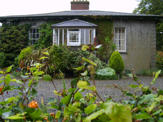 Rosemountfarm house · 625 yd
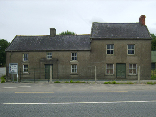 farm housefarm house · 861 yd
 Enclosure in BallycarneyEnclosure · 1162 yd
 Enclosure in TincurryEnclosure · 1.0 mi
 Tombrick WoodForest · 1.9 mi
 Pedunculate OakPedunculate Oak · 2.5 mi
 CastleCastle, unclassified · 2.8 mi
 Ferns Castle (in ruins)Castle, Anglo-Norman masonry castle · 3.7 mi
 Bernard Dunne Memorial BenchMemorial · 5.0 mi
 U.N. Peace MemorialMonument · 5.0 mi
 Gibbet HillMountain / peak · 6.9 mi
 John's HillMountain / peak · 7.4 mi