What is recorded here
Eight weirs are recorded in Faithlegg parish in the Civil Survey of 1654-6 (Simington 1942, 164). This one remains unlocated.
Simington, R. C. (ed.) (1942) The Civil Survey AD 1654-1656, vi, the County of Waterford. Irish Manuscripts Commission. Dublin.
Compiled by: Michael Moore
Date of upload: 10 November 2010
The monument record does not grant public access. Check the route and ask the landowner before entering private land.
- What survives
- Recorded monument
Places near here
 TobershonockHoly well · 456 yd
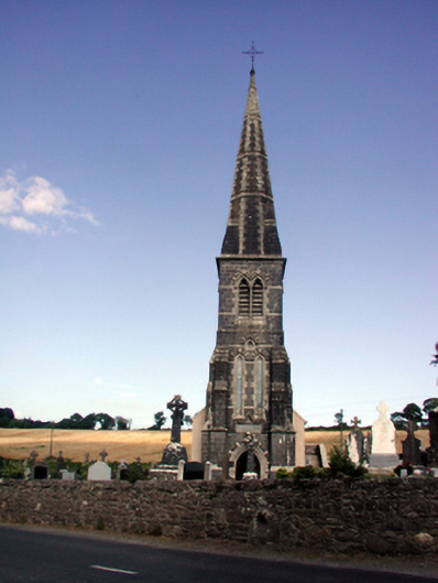 Saint Nicholas's Catholic Churchchurch/chapel · 530 yd
 Church (in Ruins)Church · 541 yd
 Grave YardGraveyard · 554 yd
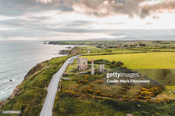 MoteCastle, motte · 766 yd
 Castle (in Ruins)Castle, tower house · 784 yd
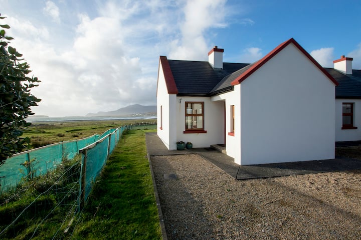 Minaun HillMountain / peak · 1161 yd
 The MinaunViewpoint · 1225 yd
 Cheek PointHeadland · 1.4 mi
 Catherine's BayBay · 1.7 mi
 Ballinakill WoodsWood · 2.2 mi
 Ivory MemorialMemorial · 2.7 mi