What is recorded here
Situated in a small clearing in a plantation on the western slope of Knocknabansha Hill. It consists of the remains of a gallery aligned SW-NE, now 2.1m long and some 0.7m wide, formed by two opposed sidestones and a septal-stone outside the SW end of the more southerly sidestone may represent a doubling of the gallery wall. A slight depression in the ground extending about 1.5m beyond the E end of the structure may indicate that the gallery was originally longer. There are a number of displaced stones at the site. (De Valera and Ó Nualláin 1982, 89, No.8)
The above description is derived from 'The Archaeological Inventory of County Tipperary. Vol. 1 - North Tipperary' compiled by Jean Farrelly and Caimin O'Brien (Dublin: Stationery Office, 2002). In certain instances the entries have been revised and updated in the light of recent research.
Date of upload: 22 September 2008
See linked document with details from Ruaidhrí de Valera and Seán Ó Nualláin, Survey of the Megalithic Tombs of Ireland. Volume IV. Counties Cork, Kerry, Limerick, Tipperary. (Dublin: Stationery Office, 1982)
Wedge tomb, dating to the Late Neolithic or Early Bronze Age (c. 2500–1000 BCE). Its alignment and construction reflect a regional tradition of funerary monuments in the Irish wedge tomb culture.
The monument record does not grant public access. Check the route and ask the landowner before entering private land.
- What survives
- Recorded monument
Places near here
 KnocknabanshaMountain / peak · 220 yd
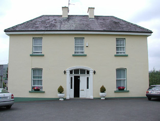 presbytery/parochial/curate's housepresbytery/parochial/curate's house · 1129 yd
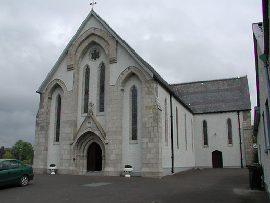 Saint Patrick's Catholic Churchchurch/chapel · 1209 yd
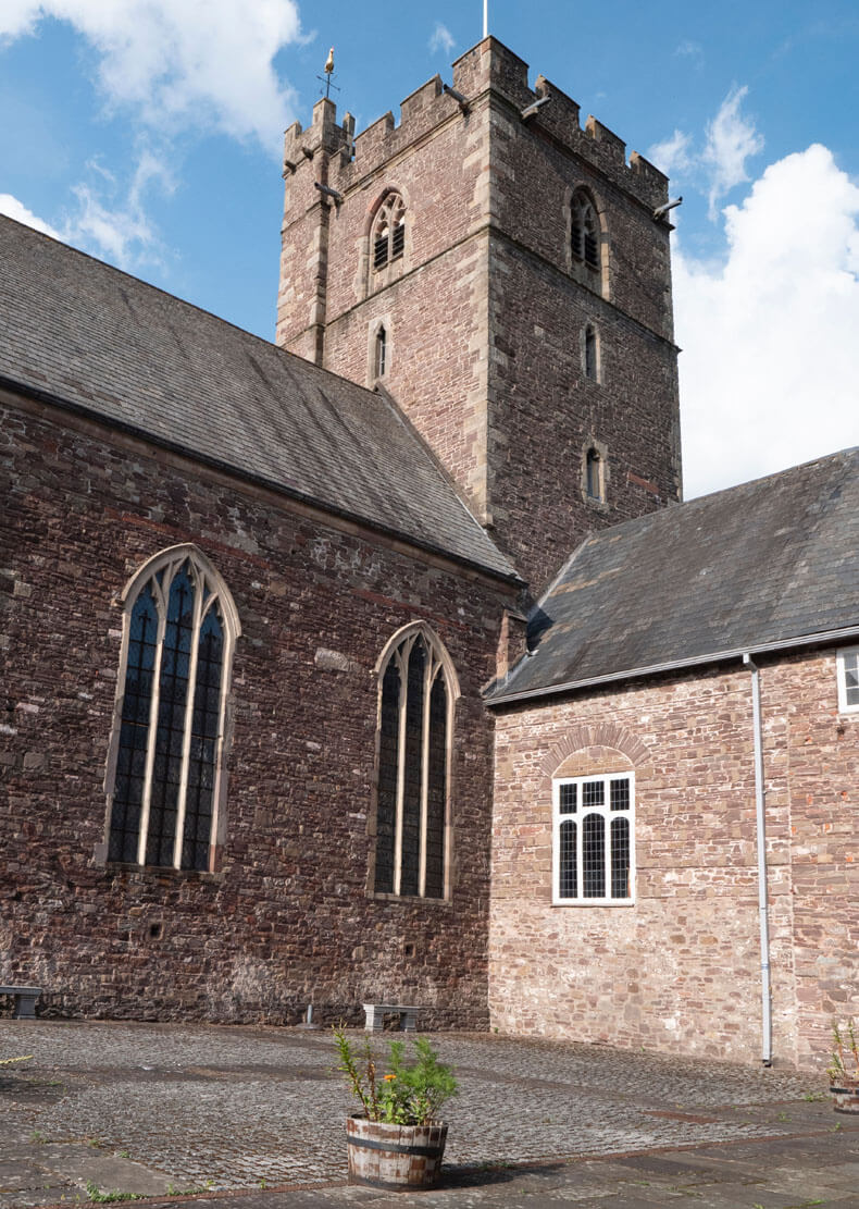 Benedictine Priory (site of)Church · 1226 yd
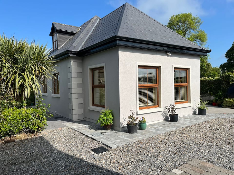 Enclosure in Kilcommon (templebeg Par.)Enclosure · 1.3 mi
 KnockmaroeMountain / peak · 1.4 mi
 Site of Cashlauncreen CastleCastle, tower house · 4.1 mi
 Site of Cloghonan CastleCastle, unclassified · 6.1 mi
 Killavalla WoodForest · 7.6 mi
 Slieve Felim WayWalking route · 8.6 mi
 ToberagaddySpring · 12 mi
 The Pollagh TrailNature reserve · 14 mi