What is recorded here
Half-buried in boggy pasture on Barraboy Mountain, the wedge tomb keeps its shape because heavy stone refuses to surrender to water. Its chamber stretches two metres through wet earth, leaning slightly on one side as if listening for footsteps that stopped coming centuries ago. People may have carried dead across this high terrace when the mountain still belonged to herds and memory rather than survey lines. The tomb does not need a name to remain significant; it is still large enough to enter and dark enough to remember.
In rough boggy pasture, on a terrace high up on the NE-facing slopes of Barraboy Mountain. This tomb, which protrudes above the surface of the bog, consists of a wedge-shaped chamber (L 2m; Wth 1.5m at the W end), aligned ENE-WSW. Three sidestones at S and a single long sidestone at N support two overlapping roofstones. A single portal stone partially closes the WSW end and a backstone is visible at ENE. A line of low kerbstones (H 0.3m) protrudes from the bog to the N, E and S, that on the N side leaning outwards. Another wedge tomb (KE102-072----) lies c. 500m to the E.
The above description is derived from the published 'Archaeological Inventory of County Kerry. Volume I: South-West Kerry' (Dublin: Stationery Office, 2009). In certain instances the entries have been revised and updated in the light of recent research.
Date of upload: 30 May 2011
Wedge tomb, dating to the Late Neolithic or Early Bronze Age (c. 2500–1000 BCE). Its location on a prominent upland terrace suggests ceremonial or ritual significance, typical of wedge tombs in the Atlantic facade region of Ireland.
The monument record does not grant public access. Check the route and ask the landowner before entering private land.
- What survives
- Recorded monument
Places near here
 Barraboy MountainMountain / peak · 816 yd
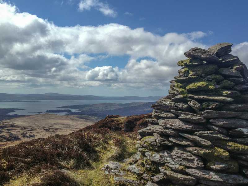 Barraboy Mountain SE TopMountain / peak · 1167 yd
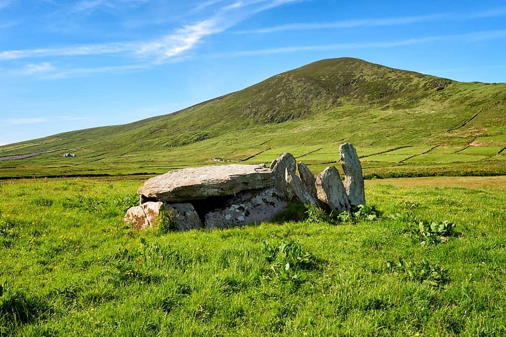 Wedge tomb in CanrooskaWedge tomb · 1557 yd
 SheepfoldHut site · 1.1 mi
 Molly Gallivan's Cottage & Traditional FarmMuseum · 1.3 mi
 Templefeaghna (in ruins)Church · 2.2 mi
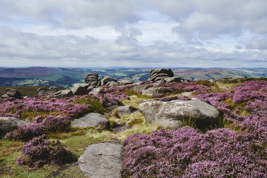 DrehidoughteraghBridge · 2.2 mi
 CrannogHeritage attraction · 2.4 mi
 The Priests LeapViewpoint · 2.7 mi
 Tasmanian bluegumTasmanian bluegum · 3.0 mi
 Calf IslandIslet · 3.3 mi
 Graveyard in CappyaughnaGraveyard · 3.3 mi