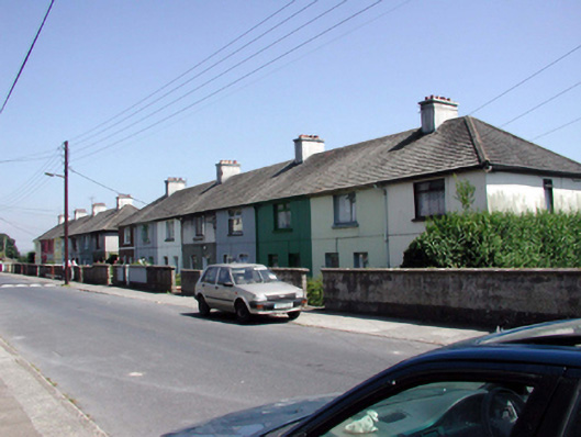
What is recorded here
Group of fifteen terraced single-bay two-storey local authority house, c.1940. Individually refenestrated, c.1965 – c.1990. Fifteen of a group of sixteen. Hipped (shared) roofs with profiled clay tiles, concrete ridge tiles, rendered (shared) chimney stacks, and cast-iron rainwater goods on timber eaves. Painted rendered walls with rendered band to first floor. Square-headed window openings with concrete sills. Replacement timber, aluminium and uPVC casement windows, c.1965 – c.1990. Square-headed door openings with replacement glazed timber, aluminium and uPVC panelled doors, c.1965 – c.1990. Set back from line of road in own grounds with forecourts having unpainted roughcast boundary walls.
An well-planned group of small-scale houses of modest appearance, each of which retains its original form and massing. The group (including 22830235/WD-09-30-235) is of significance representing the continued development of social housing by the local authority in the mid twentieth century.
This does not grant access. Most recorded buildings are privately owned; view them only from public ground unless the owner allows entry.
Places near here
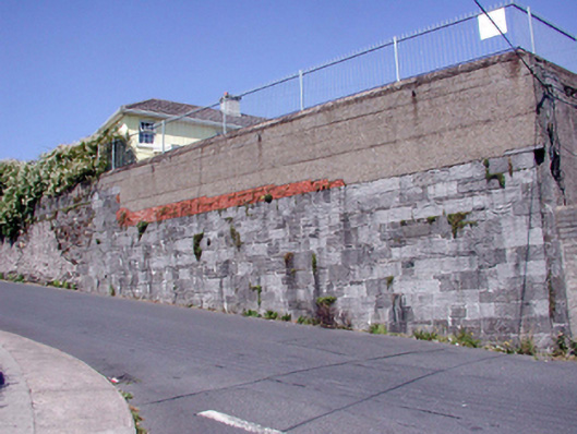 gates/railings/wallsgates/railings/walls · 75 yd
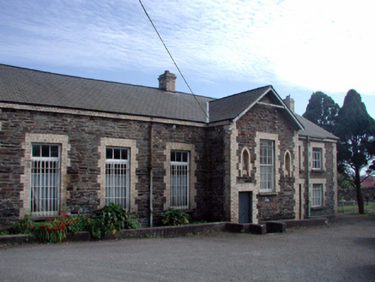 Saint Joseph's Houseschool · 176 yd
 French TowerHeritage attraction · 642 yd
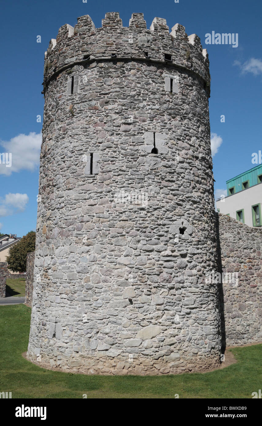 Waterford City WallsVisitor information · 794 yd
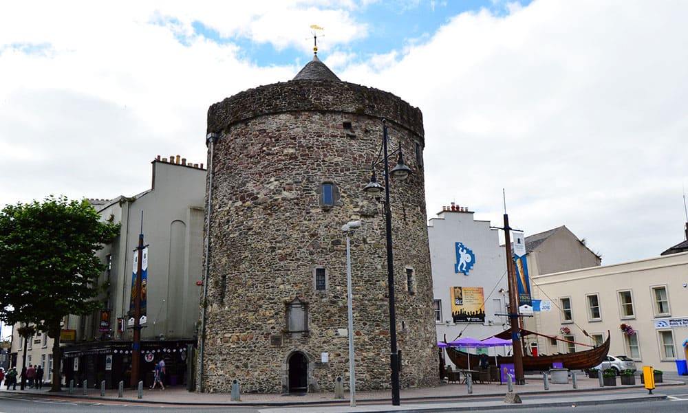 Semi-Lunar TowerCastle · 836 yd
 Holy well in Waterford CityHoly well · 930 yd
 Beach TowerCastle · 1016 yd
 Habitation site in Waterford CityHabitation site · 1042 yd
 Native Irish Tree TrailWood · 2.5 mi
 Sugar Loaf RockMountain / peak · 3.7 mi
 Mount Congreve GardensHeritage attraction · 4.0 mi
 Monterey CypressMonterey Cypress · 4.3 mi
Other information
Photo: National Inventory of Architectural Heritage · Website use allowed for educational or private purposes with source credit