What is recorded here
A watermill is indicated in ‘Wollinggrange’ townland on the Down Survey (1655-6) parish map of Killerney (NLI MS720) and on the original Down Survey map of the barony entitled, ‘The Barony of Gowran in the County of Kilkenny, by Rich[ard] Pighils, Joshuah Holye & Jonah Horrock 1655’ (BL Add MS 72868/9; https://virtualtreasury.ie/item/BL-Add-MS-72868-9). The terrier accompanying the parish map describes, ‘on Woolengrange a Castle out of repaire and a Watermill in good repaire’, with the proprietor in 1640 listed as ‘The Earle of Ormond’. The castle is located on the E bank of the River Nore, roughly where the river bends westward. The watermill is indicated S at the base of the bend, where on the OS 6-inch map a stream is indicated flowing N-S into the Nore. The precise location of the watermill in this general area of the townland is unknown.
See attached:
KK024-101----_01 Extract from Down Survey (1655-6) parish map of Killerney, in the barony of Gowran, Co. Kilkenny (NLI MS720)
Compiled by: Jean Farrelly
Date of upload: 18 October 2021
The monument record does not grant public access. Check the route and ask the landowner before entering private land.
- What survives
- Recorded monument
Places near here
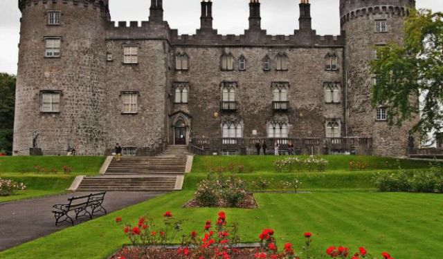 Enclosure in WoolengrangeEnclosure · 268 yd
 Enclosure in Baronsland (gowran By., Woolengrange Ed)Enclosure · 956 yd
 Church (in ruins)Church · 1372 yd
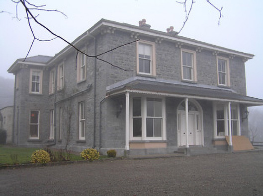 Crohana Housecountry house · 1408 yd
 MarlowWood · 1605 yd
 Annamult Castle (in ruins)Castle, tower house · 1.0 mi
 Tower (in ruins)Bawn · 1.0 mi
 Kilbline GraveyardArchaeological place · 1.2 mi
 Black WalnutBlack Walnut · 1.5 mi
 Time CapsuleMemorial · 1.8 mi
 Tullaherin Church and Round TowerVisitor information · 2.2 mi
 Kells Augustinian PrioryHeritage attraction · 4.2 mi