What is recorded here
Unlocated within townland, mill depicted on Down Survey Map.
The above description is derived from 'The Archaeological Inventory of County Tipperary. Vol. 1 - North Tipperary' compiled by Jean Farrelly and Caimin O'Brien (Dublin: Stationery Office, 2002). In certain instances the entries have been revised and updated in the light of recent research.
Date of upload/revision: 22 September 2008
The monument record does not grant public access. Check the route and ask the landowner before entering private land.
- What survives
- Recorded monument
Places near here
 CoumsallahaunMountain / peak · 544 yd
 IndicatedFairy fort / earthen ringfort · 1366 yd
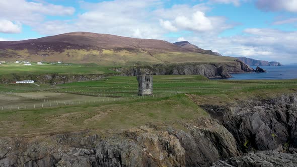 Commaun BegMountain / peak · 1.4 mi
 Church in CloghonanChurch · 1.4 mi
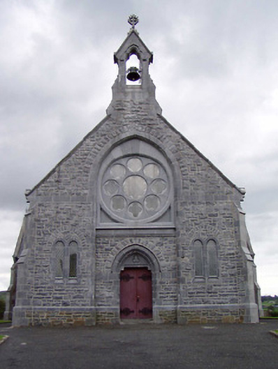 Catholic Church of the Immaculate Conceptionchurch/chapel · 1.5 mi
 Site of Cloghonan CastleCastle, unclassified · 1.5 mi
 Castle OtwayCastle, tower house · 1.9 mi
 Fulacht fia in CappanavillaFulacht fia · 1.9 mi
 Killavalla WoodForest · 3.0 mi
 Sweet ChestnutSweet Chestnut · 6.4 mi
 Silvermines ViewpointViewpoint · 6.6 mi
 Our Lady Assumed into HeavenMemorial · 7.2 mi