What is recorded here
On the flood plain of the River Goul, the river flowing roughly N-S c. 100m to the W, though a later channel, dug between 1839 and 1900, has diverted the river to c. 10m W of the monument. Barry (197, 192) describes the conjoined moated sites (KK008-112001-; KK008-112002-) as a, 'Double platform site. West platform 2290m² in area; east platform 2392m². Very eroded by cattle. Traces of ext. and int. banks. Dry moat 2.60m wide, and 1.50m deep. Dry stone walls of two buildings remain on platform'. The buildings noted by Barry may be the remains of two of the three buildings depicted on the 1st (1839) ed. OS 6-inch map in the western enclosure, one orientated roughly E-W in the NE sector, one orientated N-S in the E sector and one roughly E-W in the SW sector. It is likely that these buildings are 18th/19th century in date. When visited in 1987 both enclosures had been levelled relatively recently and survived as a slightly elevated stony platform (H 0.02-0.03m) above the drained land.
Compiled by: Jean Farrelly
Date of upload: 22 January 2018
The monument record does not grant public access. Check the route and ask the landowner before entering private land.
- What survives
- Recorded monument
Places near here
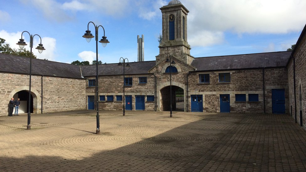 Enclosure in WarrenstownEnclosure · 796 yd
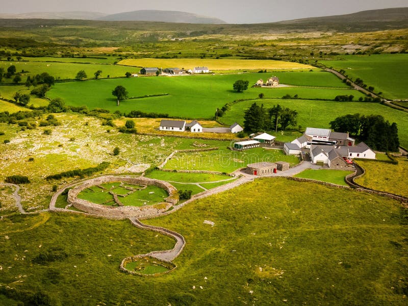 Borrismore Ringfort (Rath)Archaeological place · 1278 yd
 Urlingford Church (in ruins)Church · 1628 yd
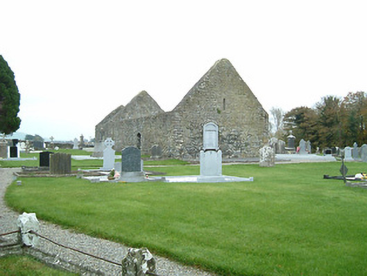 graveyard/cemeterygraveyard/cemetery · 1638 yd
 CastleCastle, tower house · 1705 yd
 TurretBawn · 1730 yd
 John HelyMemorial · 1.2 mi
 DelaneyMemorial · 1.2 mi
 Clomantagh HillMountain / peak · 2.8 mi
 Street fieldArchaeological place · 4.3 mi
 KilcooleyForest · 4.4 mi
 Kilcooly AbbeyHeritage attraction · 4.6 mi