What is recorded here
Fairy fort in Urney, County Cavan: a large earthen ring with a deep waterlogged ditch and a wide southern gap, overgrown but still shaped like a home. People may have lived there, herded animals past it, or avoided it after dark because fairy stories still walk such places. The earth remembers hands even when names are lost.
Raised subcircular area (int. dims. c. 47m NNW-SSE; c. 42m ENE-WSW) enclosed by a very substantial earthen bank and a wide, deep, partly waterlogged fosse skirted by modern field boundaries. Wide break in bank at S presumably represents original entrance. However there is no accompanying causeway. Densely overgrown with vegetation.
The above description is derived from the published 'Archaeological Inventory of County Cavan' (Dublin: Stationery Office, 1995). In certain instances the entries have been revised and updated in the light of recent research.
Date of upload/revision: 22 December 2008
The monument record does not grant public access. Check the route and ask the landowner before entering private land.
- What survives
- Recorded monument
Places near here
 Caldragh (Site of)Church · 963 yd
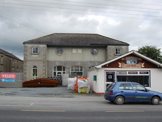 market housemarket house · 1602 yd
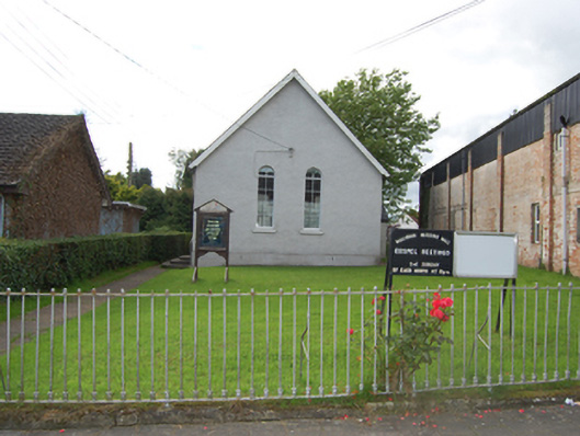 church/chapelchurch/chapel · 1693 yd
 Shannow ForestForest · 1.1 mi
 BroomhillWood · 1.4 mi
 Enclosure in Drumcrow (denn Ed)Enclosure · 1.7 mi
 BellvilleMountain / peak · 1.8 mi
 Ardkill MoreMountain / peak · 2.3 mi
 Carricknagore RockNamed rock · 2.4 mi
 Castle CosbyCastle, unclassified · 2.5 mi
 Lismore CastleCastle, unclassified · 2.8 mi
 Giant's GraveArchaeological place · 2.9 mi