What is recorded here
Hachured, an unclassified ringfort in County Clare, Ireland, stands as a quiet circular scar in the land where human hands shaped the earth long before written memory. Its exact purpose and timeline remain unknown, but the visible structure suggests a place of shelter, defense, or daily life rather than mere marker. The absence of detailed record does not diminish the fort; it invites imagination to fill the gap with plausible human presence.
The Archaeological Survey of Ireland (ASI) is in the process of providing information on all monuments on The Historic Environment Viewer (HEV). Currently the information for this record has not been uploaded. To access available information for research purposes please make an appointment in advance with the Archive Unit (open Fridays 10.00 am – 5.00 pm), Department of Housing, Local Government and Heritage, The Custom House, Dublin 1 D01W6XO or email NMarchive@housing.gov.ie.
The monument record does not grant public access. Check the route and ask the landowner before entering private land.
- What survives
- Recorded monument
Places near here
 Hachured (1951-52)Enclosure · 210 yd
 Bawn in Urlan MoreBawn · 266 yd
 Urlanbeg Castle (in Ruins)Castle, tower house · 437 yd
 Carrigoran HouseRuins · 821 yd
 Kilmaleery Church (in Ruins) (1951-52)Church · 1202 yd
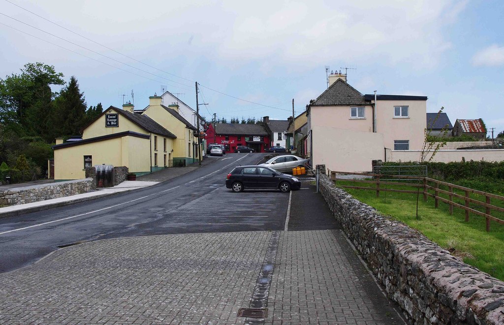 CaherforiaFairy fort / stone ringfort · 1217 yd
 Rine PointHeadland · 1.9 mi
 Pan Am Flight 1-10aviation accident · 2.2 mi
 Mooghaun WoodsWood · 2.8 mi
 HawthornHawthorn · 3.0 mi
 Atlantic Air VentureMuseum · 3.0 mi
 Mooghaun HillfortArchaeological place · 3.0 mi