What is recorded here
Half a metre of charred stone and earth still holds the shape of a cooking pit on the eastern slope above Cloonee and Inchiquin Lakes. It presses against the outer face of a larger stone circle, while three buried boulders wait five metres to the southwest. People may have heated water there for food, cleaning or ceremony, then left the burnt remains exposed to rain and gorse. The site still smells of smoke in the mind because its parts belong together: water, heat, stones, burial and the wide valley below.
In rough pasture, on an E-facing slope, overlooking the valley of Cloonee and Inchiquin Lakes. A D-shaped mound (straight SW side: 6.4m NW-SE; 6.6m NE-SW; H 0.55m) of burnt material, partially obscured by gorse bushes. The fulacht fia abuts the outer face of the axial stone of a multiple-stone circle (KE101-025001-). Three boulder-burials (KE101-025003-, KE101-025005-, KE101-025006-) lie 5m to the SW.
The above description is derived from the published 'Archaeological Inventory of County Kerry. Volume I: South-West Kerry' (Dublin: Stationery Office, 2009). In certain instances the entries have been revised and updated in the light of recent research.
Date of upload: 30 May 2011
The monument record does not grant public access. Check the route and ask the landowner before entering private land.
- What survives
- Recorded monument
Places near here
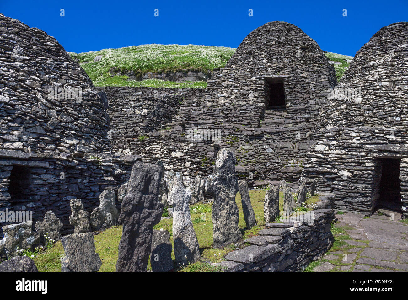 Hut SiteArchaeological place · 189 yd
 Famine HouseRuins · 392 yd
 Enclosure in UraghEnclosure · 413 yd
 Uragh WoodForest · 1314 yd
 Uragh Wood Nature ReserveNature reserve · 1485 yd
 CummeenanimmaMountain / peak · 1.4 mi
 Ardea Br.Bridge · 1.7 mi
 Gleninchaquin ParkHeritage attraction · 2.0 mi
 Gleninchaquin WaterfallWaterfall · 2.1 mi
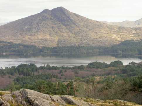 CoomnadihaMountain / peak · 2.3 mi
 Ormond's IslandIslet · 2.3 mi
 DroppaCliff · 2.9 mi