What is recorded here
Half-buried in bog and grass on a NE-facing slope above Lough Inchiquin, a collapsed drystone wall still marks an old field edge in Uragh. Its longer stretch runs about 128m north-south, with a shorter branch leaving it toward the northeast, while three small cairns sit nearby like forgotten witnesses. The boundary has surrendered much of its height, yet it still divides the hillside in a line no one needs to draw twice.
In rough hill pasture, on a NE-facing slope, overlooking Lough Inchiquin. A N-S section of a collapsed drystone wall (T 0.8m; H 0.7m) meanders for a distance of c. 128m along the hillside. At c. 88m from its N end, another wall (on a NE-SW axis) branches off it to the NE for a distance of c. 46m. The basal stones protrude above the surface of the bog and are partly grassed over. Two cairns (KE101-101003-, KE101004-) are 15m and 25m, respectively, to the W of the longer stretch of the wall and another cairn (KE101-101002-) is 4m to the E of it.
The above description is derived from the published 'Archaeological Inventory of County Kerry. Volume I: South-West Kerry' (Dublin: Stationery Office, 2009). In certain instances the entries have been revised and updated in the light of recent research.
Date of upload: 30 May 2011
The monument record does not grant public access. Check the route and ask the landowner before entering private land.
- What survives
- Recorded monument
Places near here
 Enclosure in UraghEnclosure · 495 yd
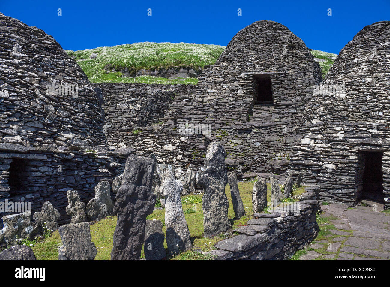 Hut SiteArchaeological place · 647 yd
 Famine HouseRuins · 815 yd
 Uragh WoodForest · 1460 yd
 Uragh Wood Nature ReserveNature reserve · 1478 yd
 CummeenanimmaMountain / peak · 1.3 mi
 Ardea Br.Bridge · 1.7 mi
 Gleninchaquin ParkHeritage attraction · 2.1 mi
 Gleninchaquin WaterfallWaterfall · 2.1 mi
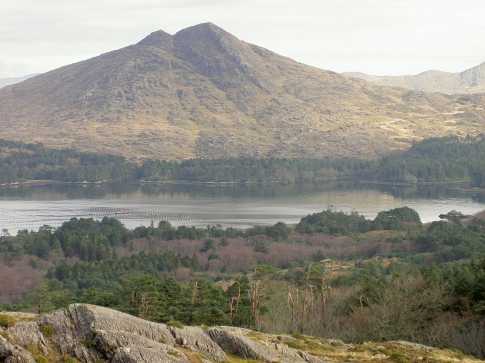 CoomnadihaMountain / peak · 2.2 mi
 Ormond's IslandIslet · 2.4 mi
 DroppaCliff · 2.7 mi