What is recorded here
Three boulder-burials cluster in rough Uragh pasture, the southern one half-swallowed by peat beside a multiple-stone circle. They stand so close that one chamber may have held several deaths, or one person may have been moved between them as the land shifted. The peat still presses against the stone like a fist closing slowly, keeping what the owners believed worth preserving.
In rough pasture, c. 10m SW of a multiple-stone circle (KE101-025001-) and boulder-burial (KE101-025002-). This, the SW of a group of three boulder-burials, consists of a boulder (max. dim. 1.25m) partially obscured by peat. No support-stones are visible. The two other boulder-burials (KE101-025003-, KE101-025005-) stand 1.5m to the N and 1m to the E, respectively. (Twohig 1987, 115)
The above description is derived from the published 'Archaeological Inventory of County Kerry. Volume I: South-West Kerry' (Dublin: Stationery Office, 2009). In certain instances the entries have been revised and updated in the light of recent research.
Date of upload: 30 May 2011
Boulder-burial in Uragh is a Bronze Age funerary monument, likely dating to the early to middle first millennium BCE. It represents a regional variant of burial practice in the Uragh area, where boulders were used to mark individual or small group interments, often in association with stone circles and other megalithic structures.
The monument record does not grant public access. Check the route and ask the landowner before entering private land.
- What survives
- Recorded monument
Places near here
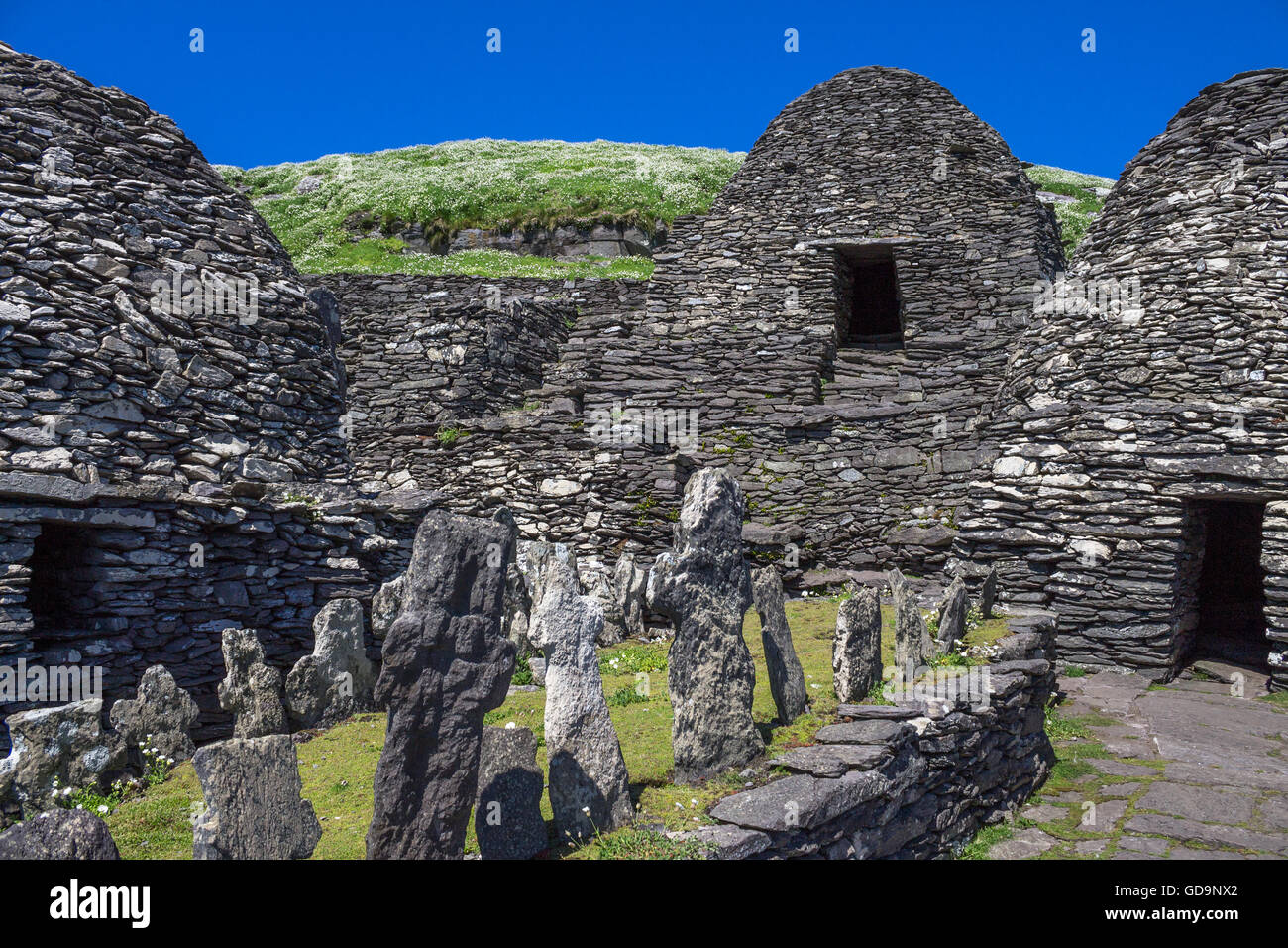 Hut SiteArchaeological place · 197 yd
 Famine HouseRuins · 398 yd
 Enclosure in UraghEnclosure · 406 yd
 Uragh WoodForest · 1320 yd
 Uragh Wood Nature ReserveNature reserve · 1487 yd
 CummeenanimmaMountain / peak · 1.4 mi
 Ardea Br.Bridge · 1.7 mi
 Gleninchaquin ParkHeritage attraction · 2.0 mi
 Gleninchaquin WaterfallWaterfall · 2.1 mi
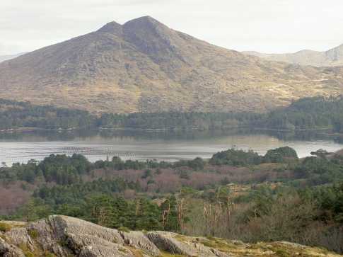 CoomnadihaMountain / peak · 2.3 mi
 Ormond's IslandIslet · 2.3 mi
 DroppaCliff · 2.9 mi