What is recorded here
Golden Lane Watch House
Watch House depicted standing at the east end of Golden Lane at the junction with Longford Street to the south. Annotated ‘W H’ on Rocque's 1756 map of the city and suburbs of Dublin (Rocque 1756). On this map the rectangular building is shown standing in the centre of the street with the long axis of the building aligned with the axis of Golden Lane. It is unclear whether this Watch House is the same building as Whitefriars' Gatehouse (DU018-020039-) which also appears to have been located in the middle of the road at the junction between Golden Lane, Ship Street and Whitefriar Street and is named after the friars of the Carmelite Priory (DU018-020049-) located 90m to the S.
Compiled by: Caimin O'Brien
Date of Compilation: 13 November 2025
The monument record does not grant public access. Check the route and ask the landowner before entering private land.
- What survives
- Recorded monument
Places near here
 Gatehouse in Unknown TownlandGatehouse · 11 yd
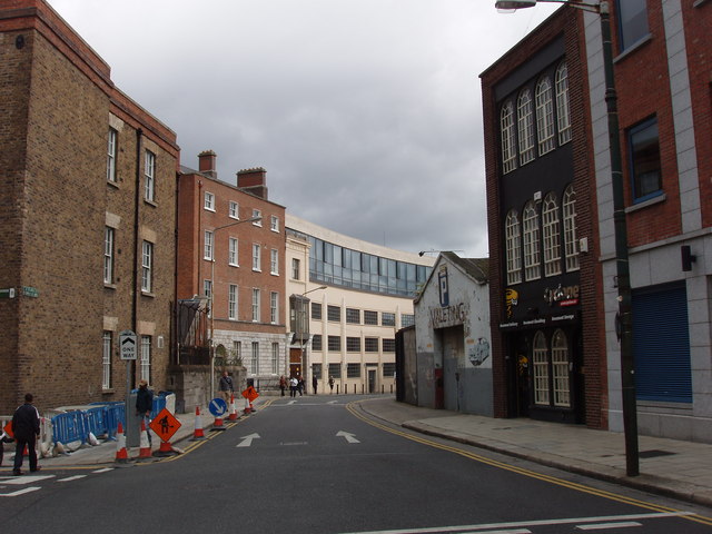 Dublin Castle (former Ordnance Office)office · 42 yd
 Burial in Unknown TownlandBurial · 52 yd
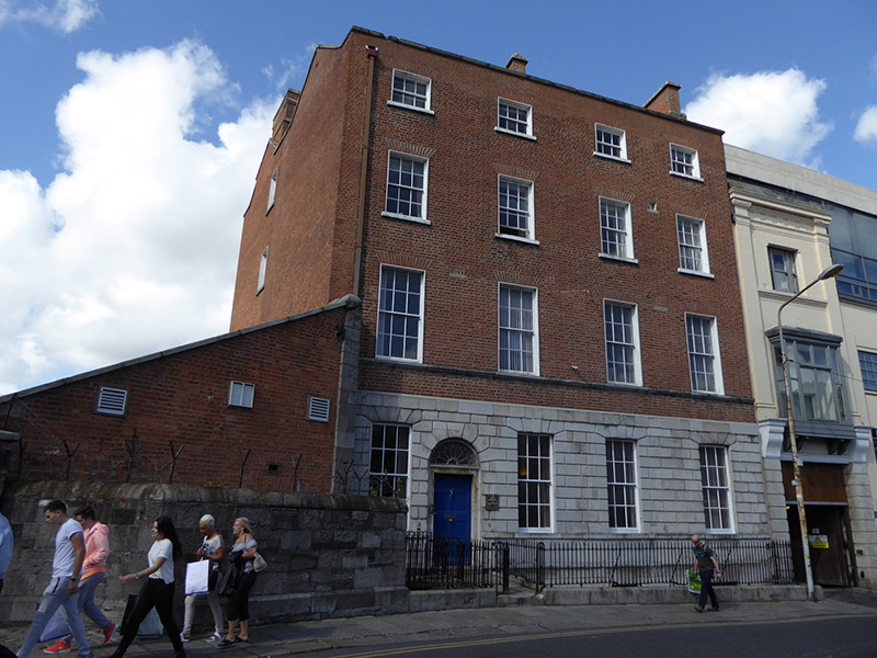 Leitrim Househouse · 80 yd
 St. Michael's le Pale Church YardMemorial · 108 yd
 Thomas MooreMemorial · 139 yd
 Veronica GuerinHeritage attraction · 199 yd
 Dublin Castlegates/railings/walls · 234 yd
 Battle of DublinMajor battlefield · 236 yd
 CastleCastle, Anglo-Norman masonry castle · 264 yd
 Newcomen BankVisitor information · 365 yd
 Tourist Information CentreVisitor information · 373 yd