
What is recorded here
Francis Street Watch House
Watch House depicted standing on Francis Street at the offset crossroads between Plunket Street (now Thomas Davis Street) to the east and Indian Alley (now Swift’s Alley) to the west. Annotated ‘W H’ on Rocque's 1756 map of the city and suburbs of Dublin (Rocque 1756). On this map the rectangular building is shown standing in the centre of the street with the long axis of the building aligned with axis of Francis Street.
Compiled by: Caimin O'Brien
Date of Compilation: 13 November 2025
The monument record does not grant public access. Check the route and ask the landowner before entering private land.
- What survives
- Recorded monument
Places near here
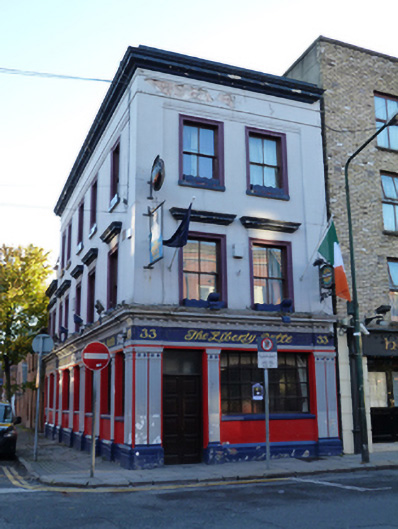 The Liberty Bellehouse · 24 yd
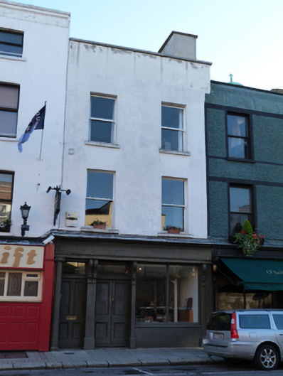 Donaghy & Dimondhouse, shop/retail outlet · 63 yd
 Medieval DublinVisitor information · 182 yd
 St Audoen’s ChurchMuseum · 257 yd
 Cross-slab in Unknown TownlandCross-slab · 260 yd
 Font in Unknown TownlandFont · 260 yd
 Medieval City Wall and St. Audeon's ArchHeritage attraction · 275 yd
 Gairdín Súgartha i gCuimhne ar na Páistí a Cailleadh in 1916Memorial · 276 yd
 Site of Saint Patrick's wellMemorial · 299 yd
 European PearEuropean Pear · 697 yd
 CastleCastle, unclassified · 1219 yd
 London PlaneLondon Plane · 1276 yd
Other information
Photo: Credit not shown in the picture search · Rights wording not checked; contact us if this picture should be removed