What is recorded here
King's Inns Quay Watch House
Watch House on Inns Quay is depicted on the northern side of Ormond Bridge (DU018-020460-) now destroyed, immediately west of the bridge on the northern bank of the River Liffey. Annotated ‘W H’ on Rocque's 1756 map of the city and suburbs of Dublin. On this map a rectangular building aligned on an E-W axis is depicted standing parallel to the River Liffey and directly south of the junction with Charles Street.
Compiled by: Caimin O'Brien
Date of Compilation: 13 November 2025
This remains an important historical record, but the official description says the monument is no longer visible or has been destroyed. The monument record does not grant public access. Check the route and ask the landowner before entering private land.
- What survives
- No visible remains or recorded as destroyed
Places near here
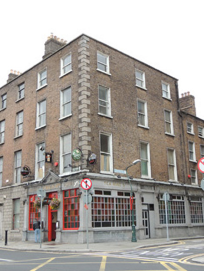 O'Reilly Bros.house · 23 yd
 O'Donovan Rossa Bridgebridge · 43 yd
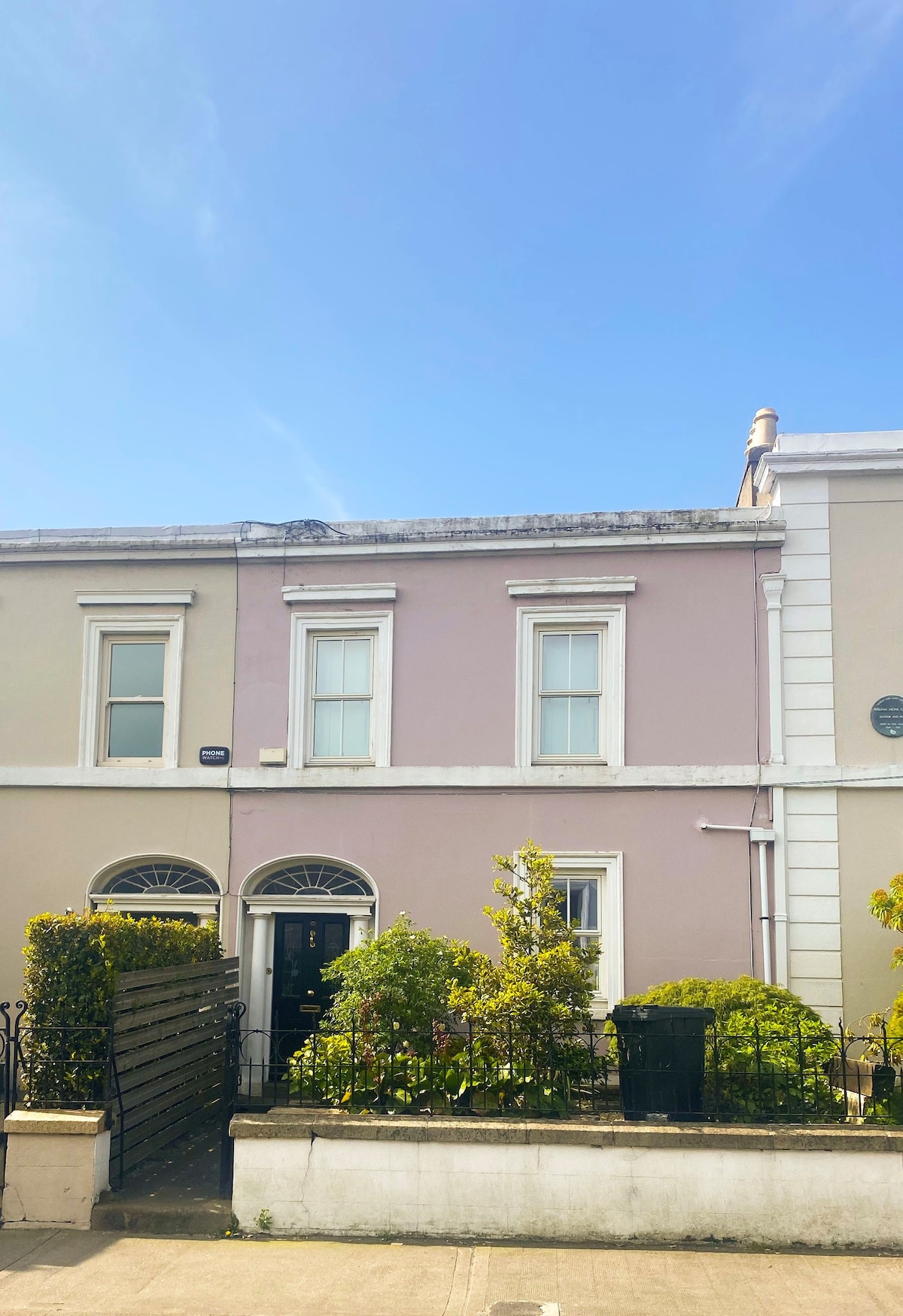 Ecclesiastical residence in Unknown TownlandEcclesiastical residence · 199 yd
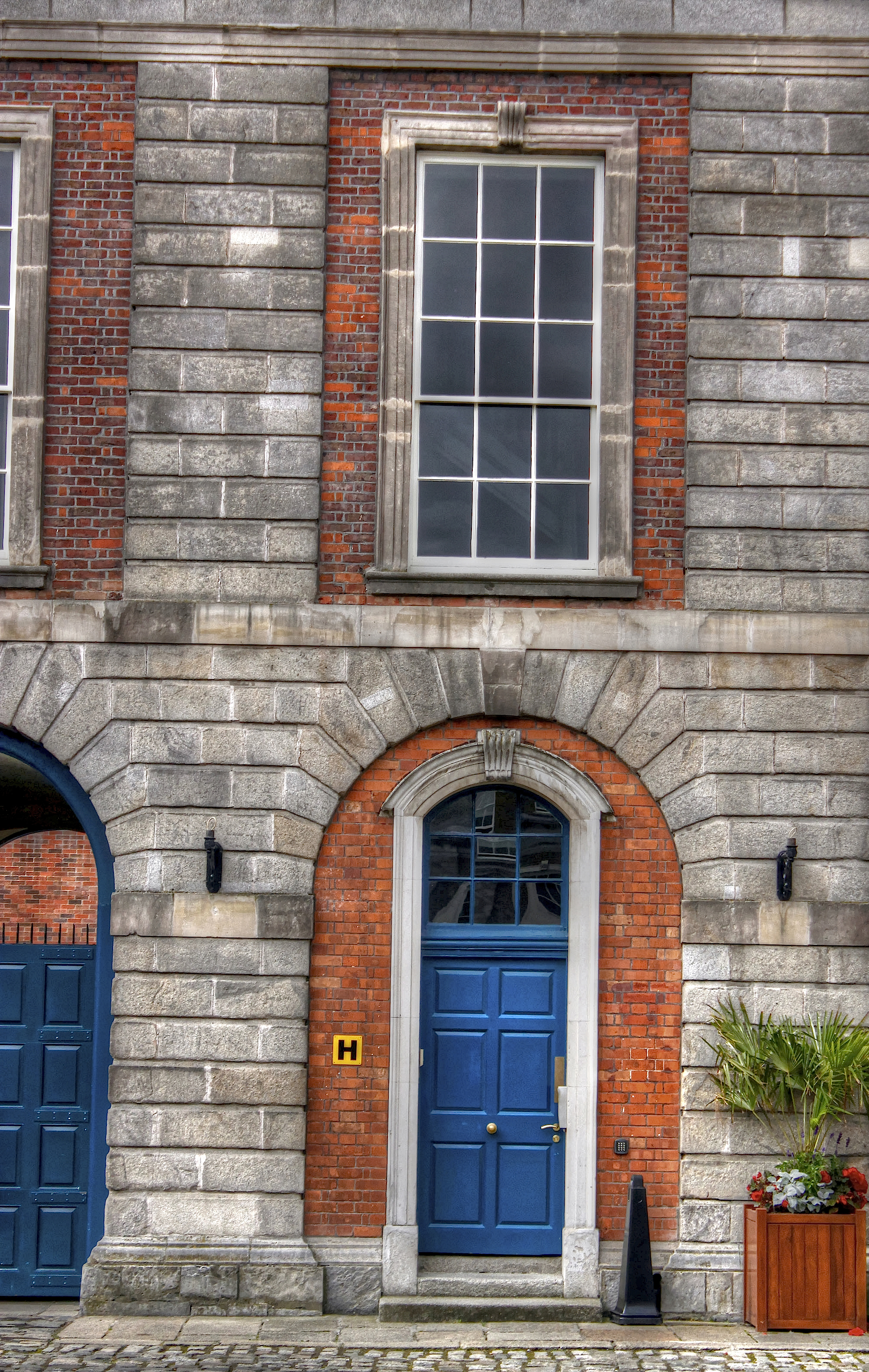 Courthouse in Unknown TownlandCourthouse · 250 yd
 Saint Audoen's GateHeritage attraction · 254 yd
 Medieval City Wall and St. Audeon's ArchHeritage attraction · 274 yd
 Gairdín Súgartha i gCuimhne ar na Páistí a Cailleadh in 1916Memorial · 337 yd
 John FieldMemorial · 352 yd
 Medieval DublinVisitor information · 383 yd
 CastleCastle, Anglo-Norman masonry castle · 418 yd
 London PlaneLondon Plane · 805 yd
 European PearEuropean Pear · 908 yd