
What is recorded here
On the S bank of the river Liffey, W of Islandbridge. The Books of Reference to the Down Survey maps (1655-6) mention the ruins of a brick house at inchicore (Simington 1945, 292). This may have been at Inchicore House as marked on the 1963 OS 6 inch map. This is demolished. No visible surface trace.
The monument record does not grant public access. Check the route and ask the landowner before entering private land.
- What survives
- Recorded monument
Places near here
 Seven Oakshouse · 277 yd
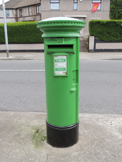 post boxpost box · 317 yd
 Enclosure in Unknown TownlandEnclosure · 425 yd
 Burials (site of)Burial · 586 yd
 Irish Citizen ArmyMemorial · 907 yd
 Toni'sPicnic place · 939 yd
 Islandbridge LodgeVisitor information · 1132 yd
 Executions of the leaders of the 1916 risingMemorial · 1172 yd
 Kilmainham Jail MuseumMuseum · 1233 yd
 Royal Hospital KilmainhamHeritage attraction · 1696 yd
 Horse-chestnutHorse-chestnut · 1699 yd
 Silver mapleSilver maple · 1.1 mi
Other information
Photo: Credit not shown in the picture search · Rights wording not checked; contact us if this picture should be removed