What is recorded here
Winetavern Street: Known as King's Gate or Winetavern Gate. Shown on Speed's map of 1610. The city wall continued E from this gate to Wood Quay (Bradley and King 1987, I, 55).
Compiled by: Geraldine Stout
Revised by: Caimin O'Brien
Date of revised upload: 23 November 2022
The monument record does not grant public access. Check the route and ask the landowner before entering private land.
- What survives
- Recorded monument
Places near here
 IndicatedCathedral · 79 yd
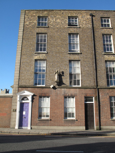 Merchant's Quay Irelandhouse · 82 yd
 Dublin City Counciloffice · 84 yd
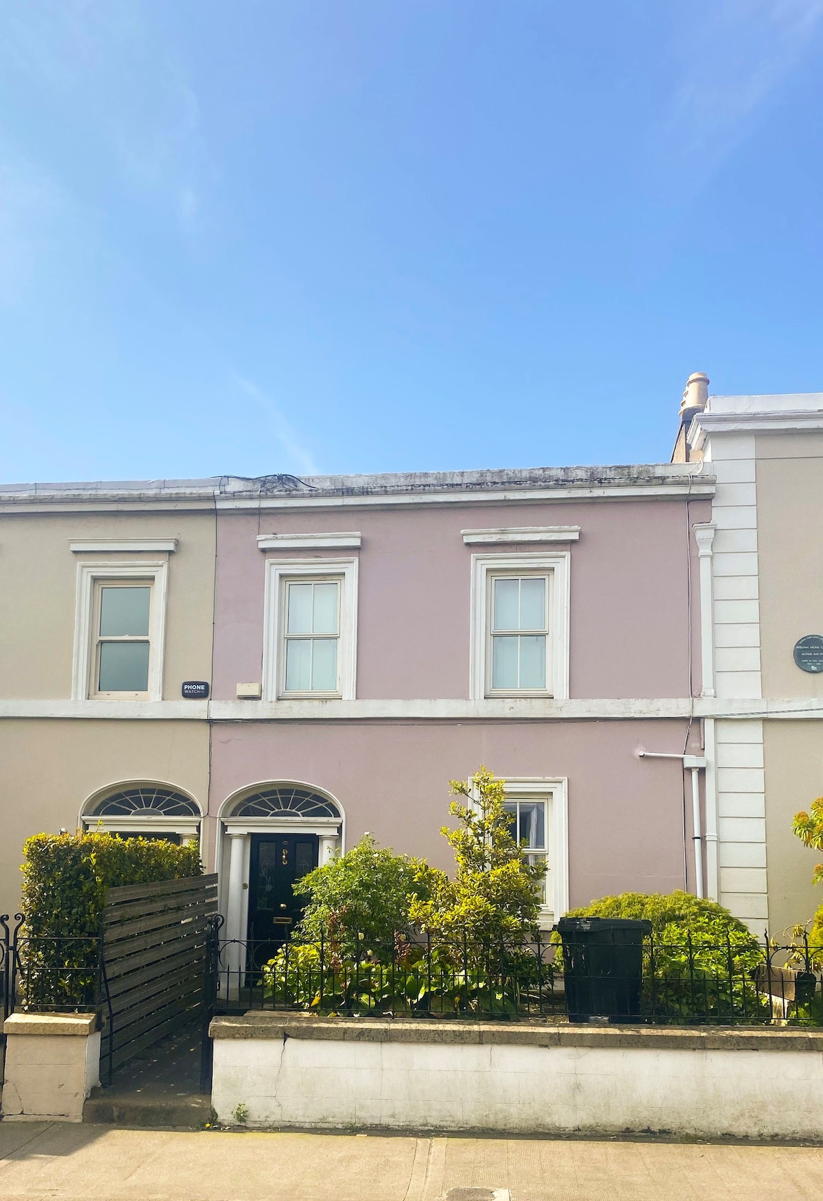 Ecclesiastical residence in Unknown TownlandEcclesiastical residence · 85 yd
 Saint Audoen's GateHeritage attraction · 170 yd
 St Audoen’s ChurchMuseum · 181 yd
 Medieval DublinVisitor information · 275 yd
 Gairdín Súgartha i gCuimhne ar na Páistí a Cailleadh in 1916Memorial · 276 yd
 Newcomen BankVisitor information · 280 yd
 CastleCastle, Anglo-Norman masonry castle · 319 yd
 St. Michael's le Pale Church YardMemorial · 385 yd
 European PearEuropean Pear · 887 yd