What is recorded here
The church is located on a distinct rise within a graveyard which is enclosed by a stone wall. A stream runs along the bottom of the graveyard which is N facing. This church was in use in 1547 (Ball 1906, 133). The Book of Reference to the Down Survey (1655-6) mentions the ruins of an old chapel (Simington 1945, 292). Today the W gable is the most prominent feature of the church. Built of roughly coursed masonry using very large blocks and large squared-off quoins. It is a relatively small building (int. dims L 8.5m, Wth 4.4m, T 0.95m) entered through a pointed, segmental W doorway. The interior is lit by a plain rectangular ope with a deeply splayed embrasure above the doorway. There are remains of the S jamb of a window in the SE. A corbel low down on the N wall indicates the extent of collapse in the interior. Building collapse extends for a distance of 5m around the perimeter of the church (Anon 1914, 271; Ball 1906, 132-133).
The monument record does not grant public access. Check the route and ask the landowner before entering private land.
- What survives
- Recorded monument
Places near here
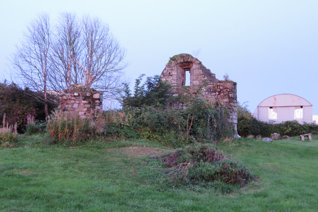 Bluebell Church (ruins)Ruins · 2 yd
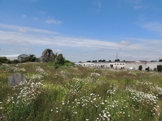 Bluebell Cemeterygraveyard/cemetery · 27 yd
 Carriglea Industrial EstateMemorial · 376 yd
 Tumulus (site of)Linkardstown burial · 1142 yd
 Mote (site of)Castle, motte · 1.0 mi
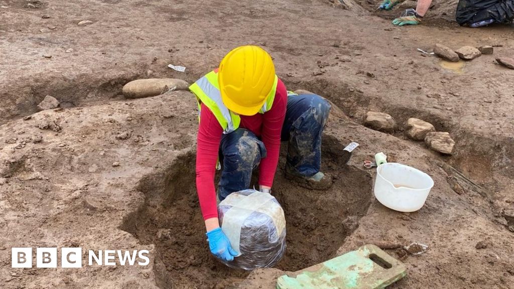 Urn burials (site of)Flat cemetery · 1.1 mi
 Irish Citizen ArmyMemorial · 1.3 mi
 Toni'sPicnic place · 1.3 mi
 Kilmainham Jail MuseumMuseum · 1.5 mi
 Gairdín Foirmiúil Ospidéal Ríoga Chill MhaighneannVisitor information · 1.9 mi
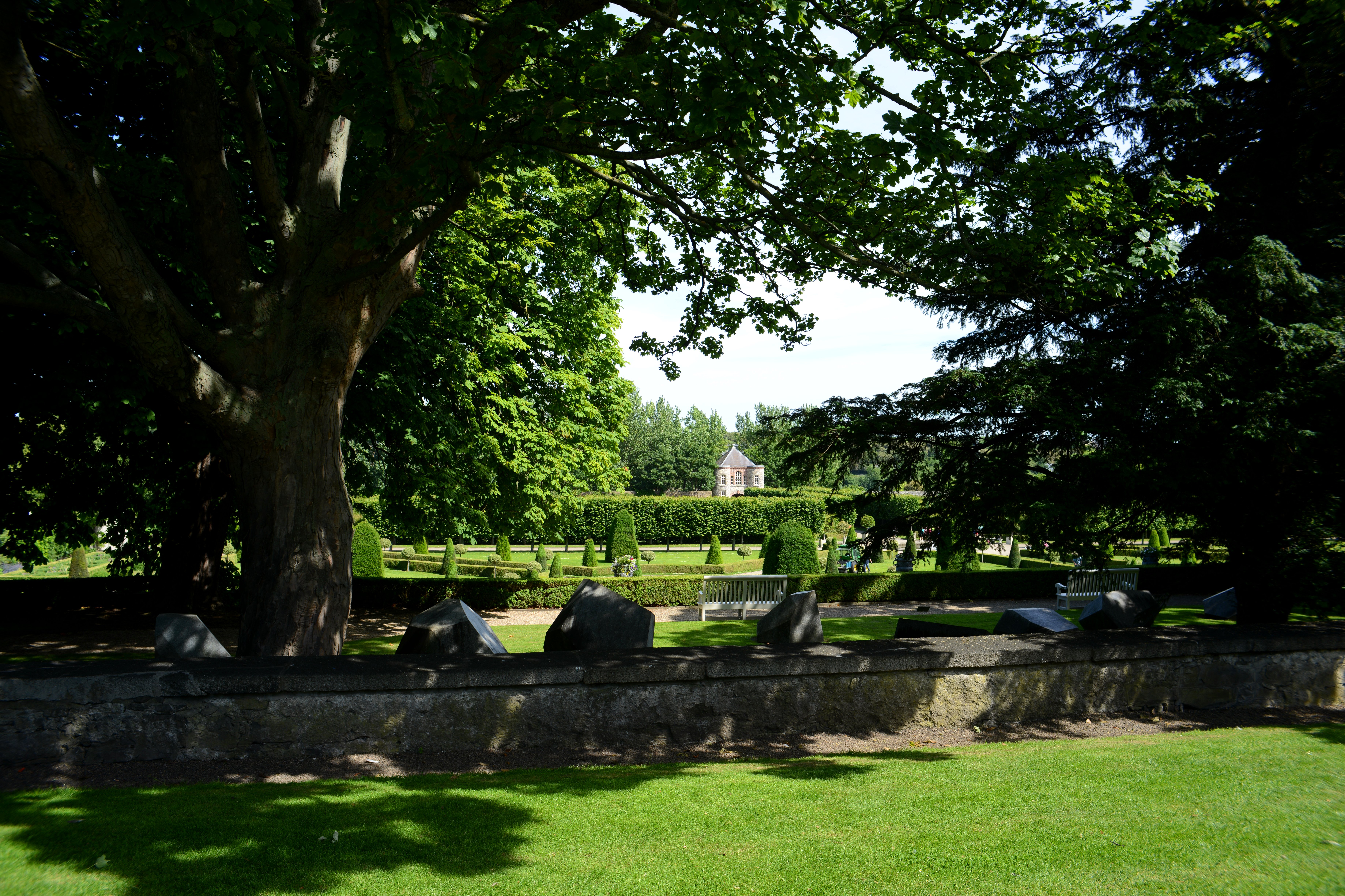 The Formal Garden at The Royal Hospital KilmainhamHeritage attraction · 1.9 mi
 Horse-chestnutHorse-chestnut · 2.1 mi