What is recorded here
Stone row in Ummeraboy West aligned three stones NE-SW on a SW-facing slope above Athnaloingebaine River, but only one still stood when Bowman measured them in 1934. The other two lay recumbent, spaced a few feet apart, as if tired or dismissed. By the early 1980s people had taken the stones to a nearby fence, leaving the valley without its little rigid sentence. What remains is the shape of the loss: a row reduced to memory, then memory reduced to an empty slope.
In pasture, on SW-facing slope on E side of valley of Athnaloingebaine River; standing stones (9868) c. 90m to SSE. Bowman (1934, 510) records 'stone alignment', aligned NE-SW, comprising three stones; only one was standing. SW stone, recumbent, was 4ft 7in by 3ft 10in x 1ft 3in; next stone, 4ft from last, was 1ft 8in by 2ft 10in by 2ft 7in; third stone, 3ft from last, was 4ft 1in by 1ft 7in by c. 1ft 5in; recumbent. Stones were removed to nearby fence to S in early 1980s.
The above description is derived from the published 'Archaeological Inventory of County Cork. Volume 4: North Cork' (Dublin: Stationery Office, 2000). In certain instances the entries have been revised and updated in the light of recent research.
Date of upload/revision: 14 January 2009
The monument record does not grant public access. Check the route and ask the landowner before entering private land.
- What survives
- Recorded monument
Places near here
 BarrowBarrow, ring-barrow · 570 yd
 Fulacht FiadhFulacht fia · 1571 yd
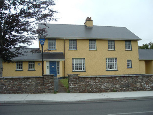 Knocknagree Garda Stationgarda station/constabulary barracks · 1.3 mi
 Knocknagree Roman Catholic Churchchurch/chapel · 1.4 mi
 Nohaval WoodWood · 2.8 mi
 Dromsicane Castle (in Ruins)Bawn · 6.0 mi
 Barna BogForest · 6.0 mi
 Doctor's HillMountain / peak · 6.3 mi
 Caherbarnagh NW TopMountain / peak · 6.8 mi
 Wildlife of the UplandsVisitor information · 7.2 mi
 Birds of DuhallowVisitor information · 7.4 mi
 Kilmeedy CastleCastle, tower house · 8.1 mi