What is recorded here
Mound in Tully, known locally as Tully Fort, is a flat-topped earthen structure on high ground in County Monaghan, Ireland. Its broad base and gentle southern slope suggest a place built for watching rather than hiding, perhaps a residence or marker where people stood above the surrounding land. The faint northern bank and steep edge preserve the shape of human labour, even if the names of its makers have faded.
Situated on high ground with excellent views in all directions. A flat topped mound of earth (top: 15m N-S; 16m E-W; base: 28m N-S; 27m E-W; max H c. 1.5m). Defined by a gradual slope on the S-SW side and by a steeper slope on the N-NE side. Possible faint traces of an external bank on the NE side. Known locally as 'Tully Fort'.
Date of upload: 14 April 2011
A Neolithic burial mound, likely dating to the Early to Middle Bronze Age. Its location on high ground suggests it may have had ceremonial or commemorative significance for the local community.
The monument record does not grant public access. Check the route and ask the landowner before entering private land.
- What survives
- Recorded monument
Places near here
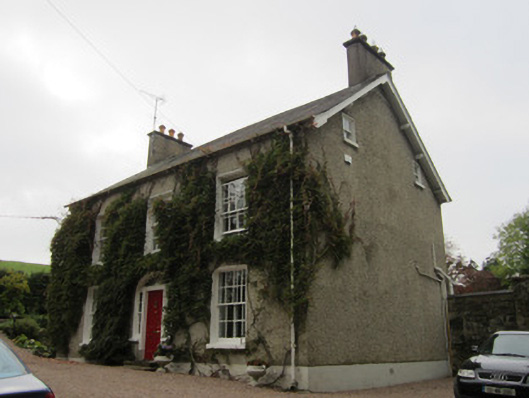 Tully Househouse · 296 yd
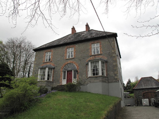 Farmeehul Househouse · 437 yd
 IndicatedCrannog · 495 yd
 Mullaghmatt ForestWood · 751 yd
 Cortolvin ForestWood · 989 yd
 Burial in Roosky (monaghan By., Monaghan Par.)Burial · 1031 yd
 Bawn in Roosky (monaghan By., Monaghan Par.)Bawn · 1050 yd
 Rossmore MonumentMemorial · 1129 yd
 Monaghan County MuseumMuseum · 1531 yd
 The BarnHeritage attraction · 1698 yd
 Rough HillMountain / peak · 3.6 mi
 Castleshane WaterfallWaterfall · 3.8 mi