
What is recorded here
On a SW-facing slope in rough pastureland, formerly part of the demesne of Tullira Castle. Classified by McCaffrey (1952, 288, no. 49) as a circular stone fort (max. diam. c. 47m) defined by a wall (Wth c. 2.4m; H c. 0.9m) best preserved at W; elsewhere it was leveled to its foundations. There was a Man-made underground passage (GA114-164001-) in the interior. In 1961 it was described as a circular mound planted with trees (SMR file). On inspection in November 1982 the poorly preserved wall (base Wth 4.2m; int. H 0.7m; ext. H 1.3m), defined by inner and outer wall-facing with a rubble core, was visible but in the NE sector a later field was superimposed upon it. A shallow flat-bottomed fosse (Wth 4m) and a broad low outer bank (Wth 3m) were also evident. The interior was overgrown and uneven but the Man-made underground passage was located in the SW quadrant. The foundations of an overgrown rectangular structure were also noted in this area.
Compiled by: Olive Alcock
Date of upload: 7 September 2018
Tullira is a circular stone ringfort, likely dating to the early medieval period, situated on a south-west facing slope in what was once the demesne of Tullira Castle. Local tradition associates such sites with fairy dwellings, and it may have been considered a place of supernatural significance in folklore.
The monument record does not grant public access. Check the route and ask the landowner before entering private land.
- What survives
- Recorded monument
Places near here
 CaveMan-made underground passage · 288 yd
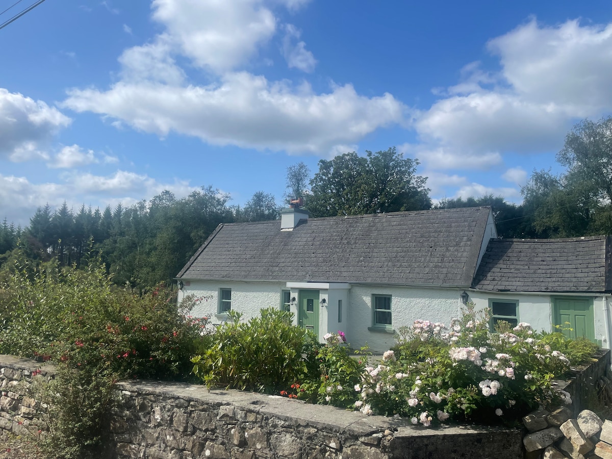 Enclosure in TulliraEnclosure · 330 yd
 Loughnane and Quinn Memorial Halldemesne walls/gates/railings · 801 yd
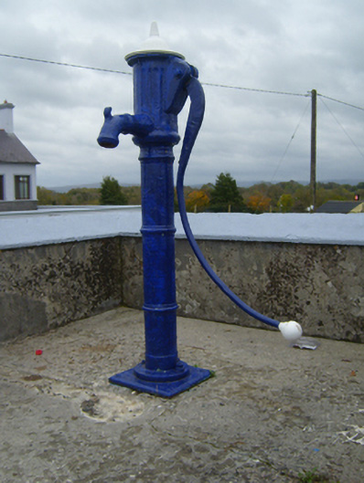 water pumpwater pump · 841 yd
 Castle (in ruins)Castle, Anglo-Norman masonry castle · 1.2 mi
 Ballymaquiff CastleCastle · 1.3 mi
 HawthornHawthorn · 1.9 mi
 European ashEuropean ash · 1.9 mi
 Drumharsna CastleHeritage attraction · 2.0 mi
 Drumacoo Monastic SiteHeritage attraction · 5.9 mi
 Mulroney's IslandIslet · 6.3 mi
 Kilmacduagh Monastic SiteVisitor information · 7.5 mi
Other information
Photo: Credit not shown in the picture search · Rights wording not checked; contact us if this picture should be removed