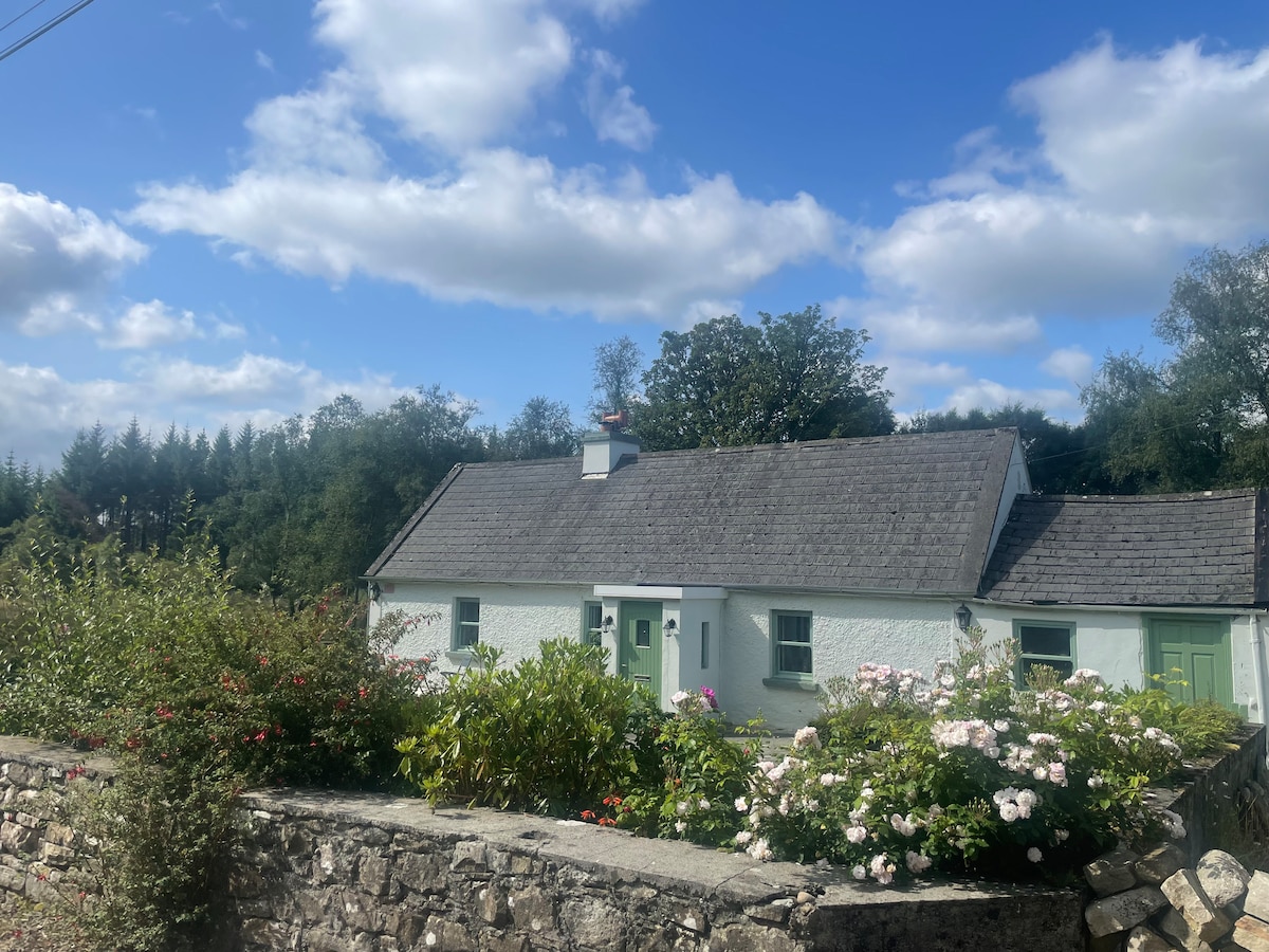
What is recorded here
In cleared farmland, formerly part of the demesne of Tullira. Marked on the 1838 edition of the OS 6-inch map as a subcircular enclosure; on the 1921 edition it is defined by a curving line of hachures from SW to N. Described in 1973 as ‘a large oval flatish area demarcated by a low scarp’, 77m N-S by 68m E-W approx. Old cultivation ridges ran ENE-WSW through the interior. A ‘hut site’ (GA114-165001-) was noted in the ESE sector of the interior (SMR file). On inspection in November 1982 apart from traces of a slight scarp at N, no visible surface trace of the enclosure survived. However, its outline as depicted on the 1921 6-inch map is visible on Google Earth aerial imagery (Google 2019). (McCaffrey 1952, 288, no. 66)
Compiled by: Galway Archaeological Survey, UCG
Date of upload: 16 July 2019
The monument record does not grant public access. Check the route and ask the landowner before entering private land.
- What survives
- Recorded monument
Places near here
 IndicatedFairy fort / stone ringfort · 330 yd
 CaveMan-made underground passage · 441 yd
 Loughnane and Quinn Memorial Halldemesne walls/gates/railings · 734 yd
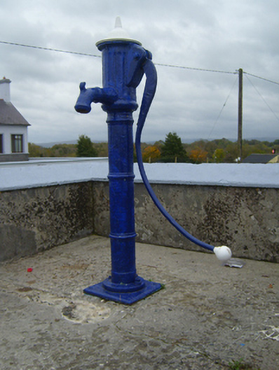 water pumpwater pump · 762 yd
 Ballymaquiff CastleCastle · 1.1 mi
 Castle (in ruins)Castle, Anglo-Norman masonry castle · 1.4 mi
 HawthornHawthorn · 1.7 mi
 European ashEuropean ash · 1.7 mi
 Drumharsna CastleHeritage attraction · 1.9 mi
 Drumacoo Monastic SiteHeritage attraction · 6.0 mi
 Mulroney's IslandIslet · 6.3 mi
 Kilmacduagh Monastic SiteVisitor information · 7.3 mi
Other information
Photo: Credit not shown in the picture search · Rights wording not checked; contact us if this picture should be removed