What is recorded here
Flint scrapers and charcoal-stained clay still mark the flat pasture where people heated water beside Castle Ievers. The pits held burnt sandstone, not grandry, but they belonged to a cluster of four fulachtae within six hundred metres. A kitchen, a washing place or a small ritual ground is possible; the distinction faded when the pipeline cut through Tullerboy in 2002. What remains is the ordinary violence of discovery: ancient heat exposed only because modern engineering opened the ground.
On flat pasture 585m E of Castle Ievers and 235m SW of the townland boundary with Drombeg. One of a group of four prehistoric sites (LI031-217/218/219/220----) excavated within 600m on the Bord Gáis Éireann's Pipeline to the West in 2002 (Grogan et. al. 2007). No trace of the monument was indicated on OSi historic maps or visible on aerial photographs prior to the discovery of the site during pipeline construction.
An area (29sq.m) was excavated under licence No. 02E0500 uncovering a disturbed fulacht fia. Two cut pit features were identified. Pit 2 was triangular (0.6m NE-SW; 1.51m NW-SE; D. 0.14m) with a concave centre and shallower, shelved edges. The fill in the pit was composed of blue/grey sandy clay with moderate amounts of burnt sandstone and charcoal. Pit 6 was oval (1.32m N-S; 0.9m E-W; D. 0.2m) with steep sides and an uneven base. The fill consisted of dark grey sandy clay including a significant quantity of burnt sandstone and charcoal. A thin disturbed deposit of mid-grey sandy clay with a high burnt sandstone and charcoal component (L. 1.25-1.1m; D. 0.08m) was recorded within a natural depression. Two stone tools, a flint crescentic scraper and chert scraper were found on the surface of the site in disturbed contexts. The site is typical of many excavated during the pipeline project, pits and deposits containing charcoal and heated fire-cracked stone. The surface finds and site typology is consistent with a Bronze Age date for the site.
Compiled by: Edmond O’Donovan
Date of upload: 27 October 2020
The monument record does not grant public access. Check the route and ask the landowner before entering private land.
- What survives
- Recorded monument
Places near here
 Castle IeversCastle, unclassified · 646 yd
 St Broneys WellHoly well · 1267 yd
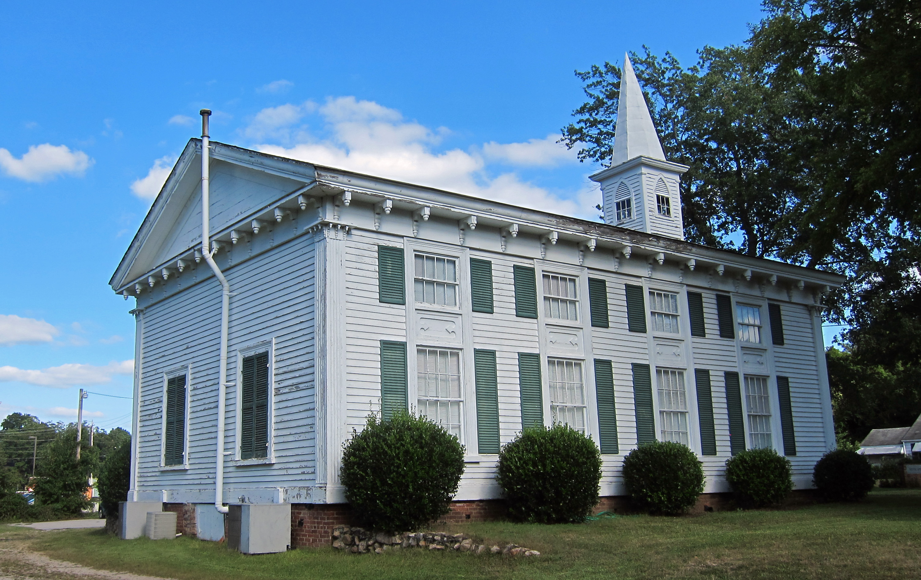 Church (in ruins)Church · 1296 yd
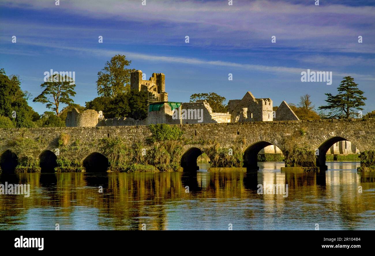 BarrowBarrow, unclassified · 1380 yd
 RoadRoad, hollow-way · 1641 yd
 Athlacca Ho. (in ruins)Castle, unclassified · 1.2 mi
 Monasteranenagh AbbeyHeritage attraction · 3.0 mi
 European ashEuropean ash · 3.6 mi
 Biodiversity in the Maigue CatchmentVisitor information · 4.3 mi
 Lough GurVisitor information · 5.2 mi
 Saint Derivla's WellSpring · 7.6 mi
 Flat cemetery in Knockainy WestFlat cemetery · 8.0 mi