
What is recorded here
In flat pasture, 315m S of Kilbroney Church (LI039-102001-) and St. Broney's Well (LI039-012002-). Not marked on the 1840 ed. OSi 6-inch sheet. Depicted on the 1897 ed. OSi 25-inch sheet as a linear earthwork (L. c. 53m) running N-S, where it is shown as a possible sunken or hollow way flanked by a bank on either side. Upstanding monument visible as a linear feature overgrown with trees (L. c. 69m) on OSi orthophotograph taken between 2005-12 where traces of the levelled road are visible as a linear cropmark running NW-SE (L. c. 74m) to N of upstanding section. Possible roadway leading N towards Kilbroney Church, or could be the remains of a watercourse such as a mill-race. Paleochannel or old watercourse visible running into linear earthwork at NE visible on Google Earth orthoimage dated 05/04/2006.
See attached Google Earth orthoimages
Compiled by: Fiona Rooney
Date of upload: 12 April 2021
The monument record does not grant public access. Check the route and ask the landowner before entering private land.
- What survives
- Recorded monument
Places near here
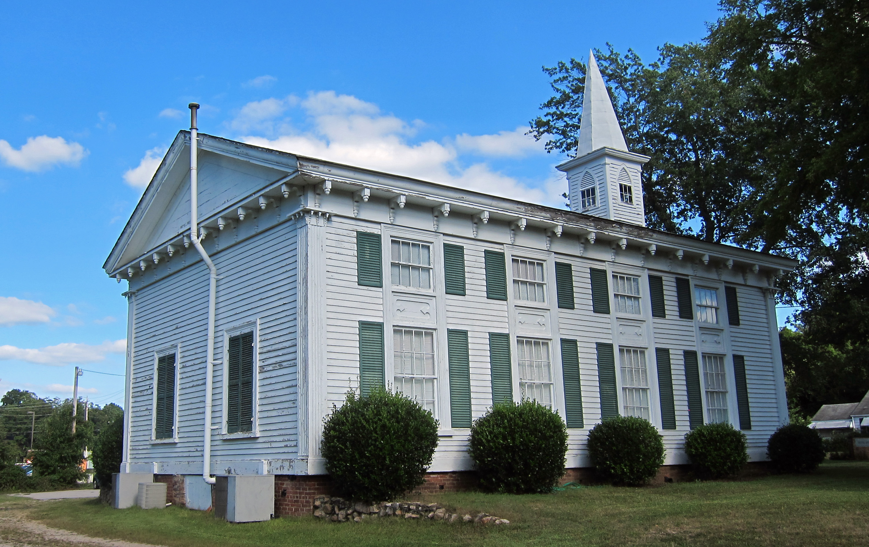 Church (in ruins)Church · 377 yd
 St Broneys WellHoly well · 408 yd
 Athlacca Ho. (in ruins)Castle, unclassified · 691 yd
 Old Tuck MillWater mill, unclassified · 722 yd
 Burial GroundGraveyard · 905 yd
 Castle IeversCastle, unclassified · 1438 yd
 Monasteranenagh AbbeyHeritage attraction · 3.7 mi
 European ashEuropean ash · 4.0 mi
 Biodiversity in the Maigue CatchmentVisitor information · 4.7 mi
 Dysert AenghusaHeritage attraction · 5.4 mi
 KnockfeerinaMountain / peak · 6.3 mi
 Saint Derivla's WellSpring · 6.8 mi
Other information
Photo: Credit not shown in the picture search · Rights wording not checked; contact us if this picture should be removed