What is recorded here
A public road roads NE-SW immediately N of the monument and a field boundary runs NW-SE immediately to the W, in flat terrain under grass though formerly under tillage. A bivallate enclosure (overall diam. c. 36m) identified as a cropmark of two concentric fosses on an aerial photograph (CUCAP APD069, 14 July 1966). It is not visible at ground level.
See attached aerial photograph.
Compiled by: Jean Farrelly
Date of upload: 23 June 2020
The monument record does not grant public access. Check the route and ask the landowner before entering private land.
- What survives
- Recorded monument
Places near here
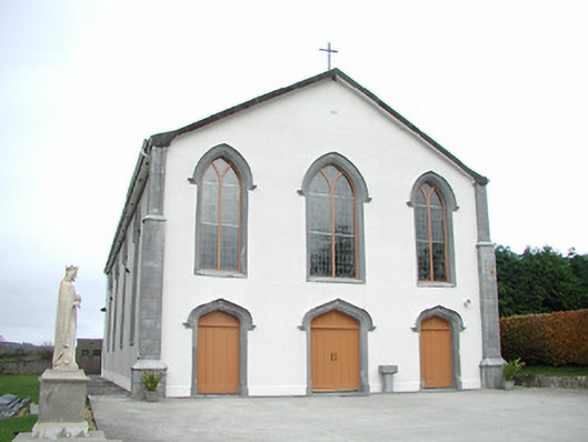 Catholic Church of the Assumptionchurch/chapel · 499 yd
 Ladys WellHoly well · 627 yd
 Tullaroan ChurchChurch · 722 yd
 CrossCross, Wayside cross · 737 yd
 Site of CastleCastle, unclassified · 1.1 mi
 CastleCastle, unclassified · 1.5 mi
 Killeen Fox CovertForest · 2.5 mi
 Kildrinagh WoodForest · 3.3 mi
 Ballykeeffe Mass RockNamed rock · 3.6 mi
 Ballykeefe QuarryCliff · 3.9 mi
 Ballykeefe AmphitheatreHeritage attraction · 3.9 mi
 Freshford LoopWalking route · 4.5 mi