What is recorded here
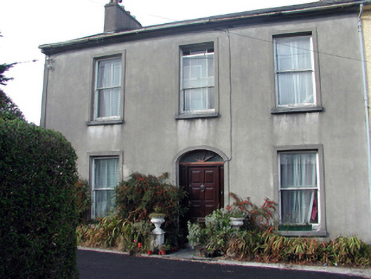
End-of-terrace three-bay two-storey house, c.1880, retaining original aspect. One of a terrace of eight. Pitched (shared) slate roof with clay ridge tiles, rendered chimney stacks, and cast-iron rainwater goods on overhanging rendered eaves. Unpainted rendered walls. Square-headed window openings with stone sills, rendered surrounds, 1/1 timber sash windows to ground floor, and 2/2 timber sash windows to first floor. Elliptical-headed door opening with rendered surround, timber panelled door, and fanlight. Interior with timber panelled shutters to window openings. Road fronted perpendicular to road with side (north-west) elevation fronting on to road having shared tarmacadam forecourt.
An elegantly-proportioned middle-size house, built as one of a terrace of eight identical units (with 22816029, 31, 183 – 187/WD-26-16-29, 31, 183 – 187), which retains its original form and fabric, both to the exterior and to the interior. The house, together with the remainder in the terrace, forms an important component of the townscape, following the topography of the sloping site through the use of a stepped roofline.
This does not grant access. Most recorded buildings are privately owned; view them only from public ground unless the owner allows entry.
Places near here
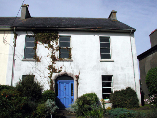 Breladehouse · 66 yd
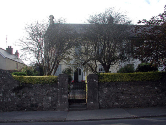 The Grangehouse · 76 yd
 Tramore Tourist OfficeVisitor information · 516 yd
 Cannon GunBattlefield · 541 yd
 Tourist InformationVisitor information · 585 yd
 Doneraile WalkWalking route · 592 yd
 Burnt spread in MonloumBurnt spread · 1148 yd
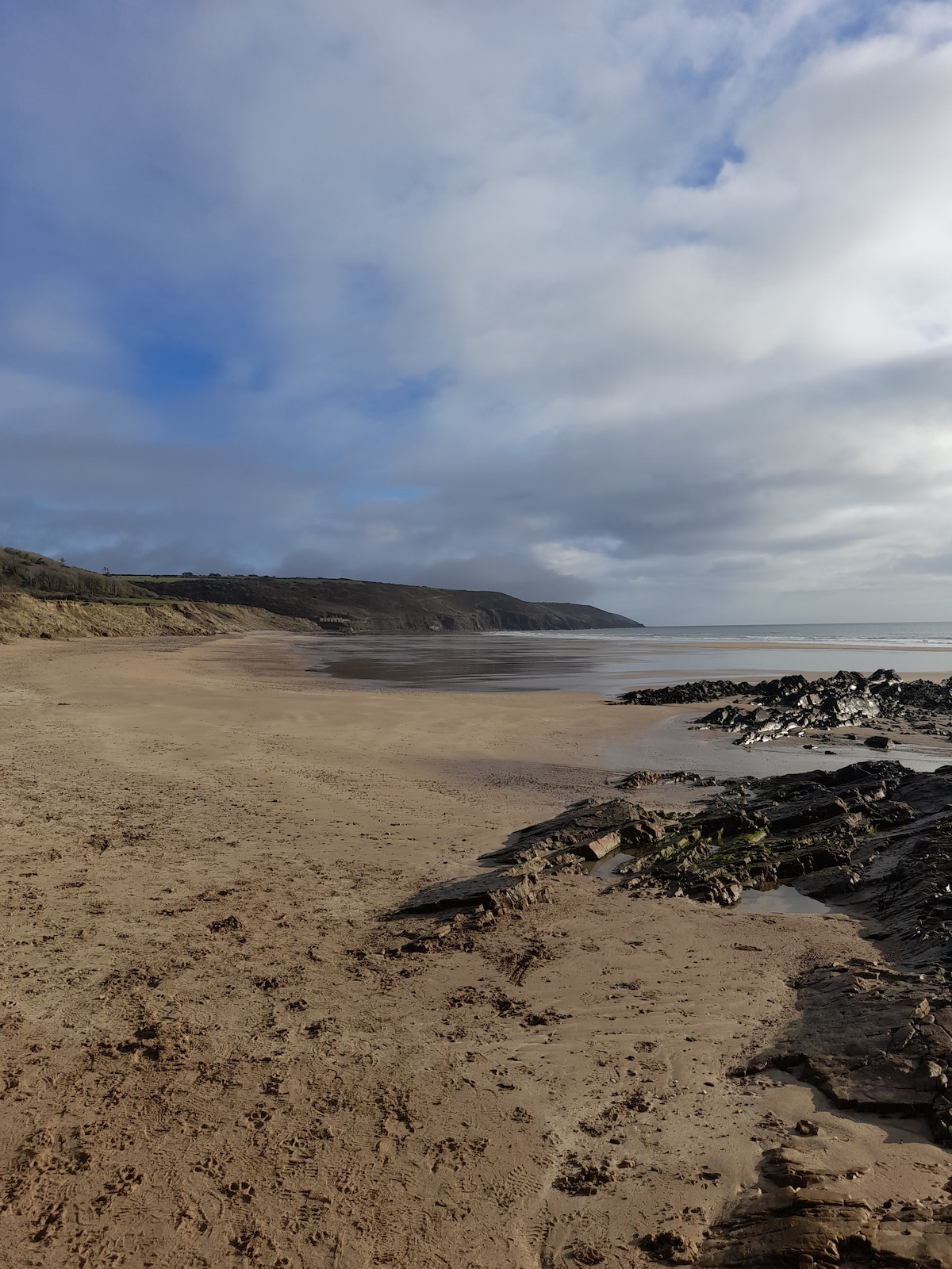 Enclosure in Crobally Upper (middlethird By.)Enclosure · 1301 yd
 Tramore Dunes WalkWalking route · 1.0 mi
 Newtown WoodsWood · 1.3 mi
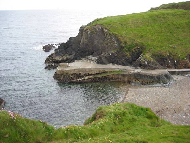 Newtown CoveBeach / strand · 1.3 mi
Other information
Photo: National Inventory of Architectural Heritage · Website use allowed for educational or private purposes with source credit