
What is recorded here
Detached nine-bay two-storey over part-basement coastguard station, built 1875, comprising six-bay two-storey main block with single-bay two-storey advanced higher end bay to left (south-west) having single-bay single-storey lean-to box oriel window to first floor, two-bay two-storey over part-raised basement advanced end block to right (north-east) having three-bay two-storey side elevation to north-east, and group of three two-bay single-storey lean-to returns to north-west originally accommodating shared porches. Subsequently in multiple private residential use. Undergoing extensive renovation and reconstruction, 2003. Pitched and hipped roofs (pyramidal to higher end bay; lean-to to return porches) with replacement slate, 2003, clay ridge tiles (rolled lead ridge tiles to higher end bay having finial to apex), replacement cement rendered chimney stacks, 2003, and replacement uPVC rainwater goods, 2003, on exposed eaves. Unpainted replacement fine roughcast walls, 2003, with red brick quoins to corners, and unpainted rendered surround to box oriel window having stepped consoles forming bartizan motif. Camber-headed window openings to front (south-east) and side (north-east) elevations with cut-stone flush sills, and red brick-block-and-start surrounds. Square-headed window openings to rear (north-west) elevation with cut-stone sills. Replacement 2/2 timber sash windows, 2003, to front (south-east) and to side (north-east) elevations with replacement 6/6 timber sash windows, 2003, to rear (north-west) elevation. Square-headed door openings to return porches with replacement timber panelled doors, 2003. Camber-headed door opening to side (north-east) elevation approached by flight of nine replacement concrete steps, 2003, with red brick block-and-start surround. Set back from road in own grounds on an elevated site with flights of steps to south-east in form of terraces, and random rubble stone boundary wall to perimeter having stone cobbled coping, and cut-granite piers.
An attractive substantial building forming a prominent landmark in the townscape of Tramore. The building is of initial importance for its original intended use as a coastguard station, attesting to the importance of maritime activities in the locality, and the appearance of the composition suggests that it was sourced from a pattern book or resident architect, a number of stations of similar appearance existing in various states of preservation around the coastline of Ireland. Currently (2003) undergoing extensive renovation works to accommodate an alternative purpose, many of the replacement fittings and materials have been carefully selected and installed so as to preserve the historic character of the site.
This does not grant access. Most recorded buildings are privately owned; view them only from public ground unless the owner allows entry.
Places near here
 Doneraile WalkWalking route · 51 yd
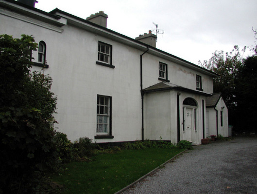 Albion Househouse · 186 yd
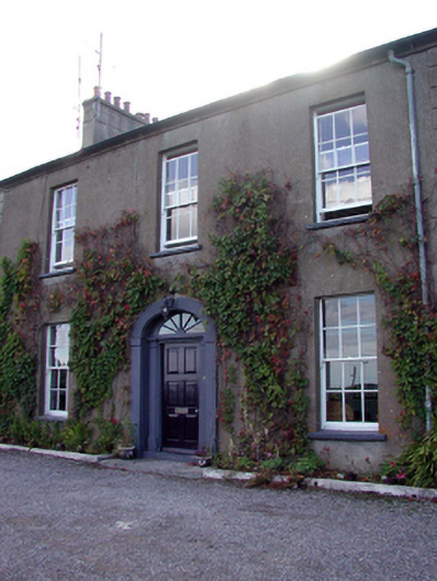 Clyde Houseworker's house · 224 yd
 Cannon GunBattlefield · 285 yd
 Tourist InformationVisitor information · 922 yd
 Tramore Tourist OfficeVisitor information · 1004 yd
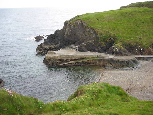 Newtown CoveBeach / strand · 1684 yd
 Newtown WoodsWood · 1689 yd
 Burnt spread in MonloumBurnt spread · 1.0 mi
 Burnt mound in CoolnagoppogeBurnt mound · 1.0 mi
 Tramore Dunes WalkWalking route · 1.1 mi
Other information
Photo: A.-K. D. · CC BY-SA 4.0