What is recorded here
No visible ruin remains in the spring wheat field, yet the fork between the Owenass River and River Barrow once throbbed with seventeenth-century iron heat under Sir Charles Coote. The Mountrath works in Forest still hide their identity inside the name Forgelands, while this forgotten site vanished beneath ordinary soil. Both rivers helped carry coal, water and finished iron through Laois, proving that Coote understood the landscape before it forgot him.
No surface evidence of any ironworking in field marked on OS 6-inch map, field in spring wheat when visited. Site of seventeenth century Ironworks set up by Sir Charles Coote located in fork between Owenass River and River Barrow (Feehan 1983, 338). The Mountrath works were located in the townland of Forest, south of the modern town, in the angle made by the Nore and Mountrath Rivers, this piece of land still bears the name of 'Forgeland' (Feehan 1983, 338).
Compiled by: Caimin O'Brien
Date of upload: 17 December 2007
The monument record does not grant public access. Check the route and ask the landowner before entering private land.
- What survives
- Recorded monument
Places near here
 Enclosure in BarranaghsEnclosure · 1093 yd
 Derryisheen WoodWood · 1631 yd
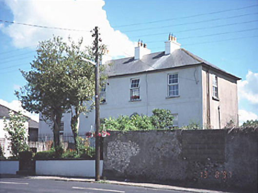 Grange Lodgehouse · 1.1 mi
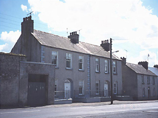 Grangeville and Grange Cottagehouse · 1.1 mi
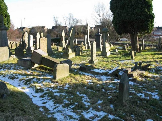 Church (in Ruins), GraveyardChurch · 1.9 mi
 Friary (in Ruins) GraveyardReligious house, unclassified · 1.9 mi
 Birchpark WoodWood · 2.1 mi
 Ivy Church (Site of)Church · 2.4 mi
 Tinnakill Castle (in Ruins)Castle, tower house · 2.6 mi
 Spa WellSpring · 2.6 mi
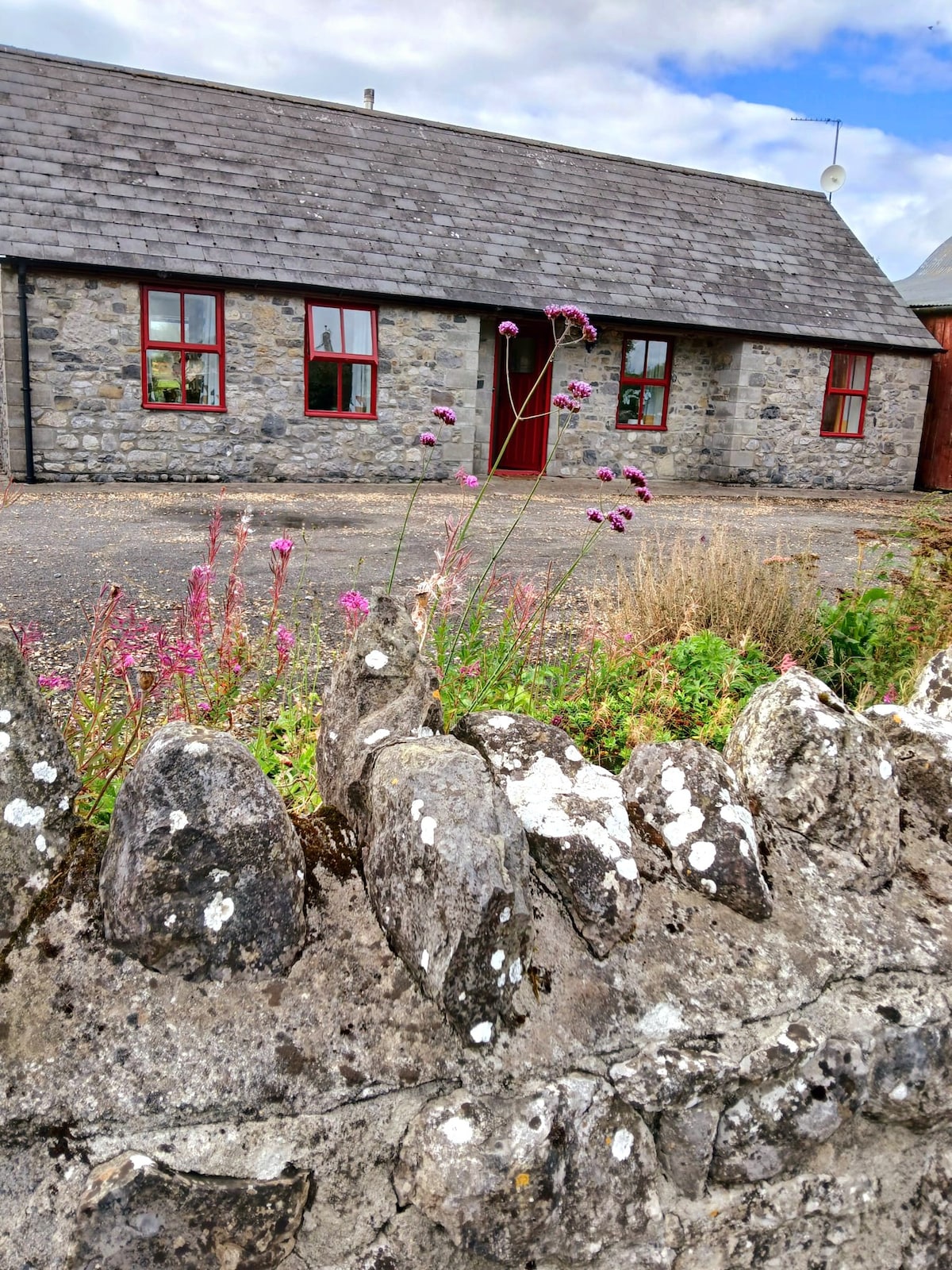 Bawn in ClonyhurkBawn · 2.8 mi
 Ghaugher HillMountain / peak · 4.6 mi