What is recorded here
Hot water hissed through stone channels at Townparks while people dropped heated rocks into pits, making steam rise above the grey clay. Hazel charcoal from that time still lies crushed beneath the mound, marking a place where heat, water and repetition turned ordinary earth into a living kitchen. The M3 bypass later cut across the same ground, yet the old rhythm of dripping, breaking and boiling may have continued long before roads or records.
Archaeological centre-line testing (04E583) by A. O’Connell (2005) at Testing Area 10 of Contract 3 in advance of the M3 motorway identified a burnt spread (excavations.ie 2004:1346) that was fully resolved (E003134) by K. Martin (2009) as a part of Townparks 2 in February 2006 (excavations.ie 2006:1645) when two fulachta fia were recorded. This was a spread of dark brown-grey, silty clay with frequent broken stone and charcoal content (dims 8m N-S; 6.5m E-W; T 0.06-0.11m) that overlay six pits or shallow depressions in the subsoil that were concentrated under the burnt mound. The pits (dims 1m x 1.1m; D0.28m to dims 2.18m x 1.18m; D 0.38m) could have heat-scorched bases but all had some broken and burnt stone in their fills, although none is recognised as a trough. Two C14 dates of 2402-2045 cal. BC (Beta 237332) and 2456-2059 cal. BC (Beta 237331) were returned from samples of hazel charcoal in their fills. There were two clusters of seven and eight stake-holes between the pits, and only two of the smaller pits impinged on others so they are all probably closely contemporary. Three gullies (Wth 0.54m; D 0.24m) extended end to end NW-SE (total L 10.7m) across the area beneath the burnt mound. One gully cut the edge of one of the pits, and they may have provided water for the pits. A sample of fruitstone charcoal from one of the gullies yielded a date of 2343-2041 cal. BC (Beta 237333). (Martin 2009, 3-5)
See the attached plan from Martin 2009 (fig. 9)
Compiled by: Michael Moore
Date of upload: 13 April 2023
Martin, K. 2009 M3 Clonee-North of Kells. Contract 3 – Navan Bypass. Report on the Archaeological Excavation of Townparks 2, Co. Meath. Licence: E003114. Final Unpublished report, Archaeological Consultancy Services
O’Connell, A. 2005 M3 Clonee-North of Kells. Contract 3 – Navan Bypass. Report on Archaeological Assessment at Testing Area 10, Townparks, Robinrath and Knockumber, County Meath. Licence: 04E0583. Unpublished report, Archaeological Consultancy Services
The monument record does not grant public access. Check the route and ask the landowner before entering private land.
- What survives
- Recorded monument
Places near here
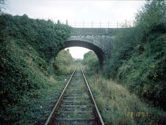 bridgebridge · 1005 yd
 Enclosure in MoathillEnclosure · 1167 yd
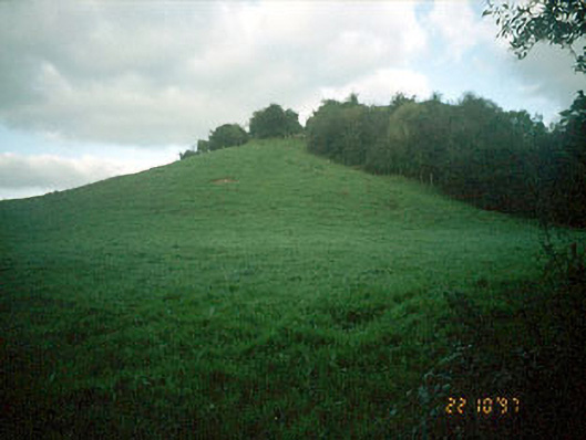 Navan MoatOfficially recorded historic building · 1276 yd
 Enclosure in NevinstownEnclosure · 1650 yd
 Rathaldron Ho.Castle, tower house · 1.3 mi
 Nangle CourtMemorial · 1.5 mi
 Liscartan CastleCastle, tower house · 1.5 mi
 The RampartWood · 1.6 mi
 DurhamstownMountain / peak · 2.0 mi
 BohermeenMountain / peak · 2.3 mi
 The New Line RoadMemorial · 2.6 mi
 Donaghmore Round TowerHeritage attraction · 2.7 mi